


For 7000 ft. to 8000 ft.
| Saturday | Saturday Night | Sunday | |
|---|---|---|---|
| Weather: | Cloudy skies with snow. | Cloudy skies with snow. | Mostly cloudy skies with a slight chance of snow throughout the day. |
| Temperatures: | 37 to 43 deg. F. | 15 to 22 deg. F. | 27 to 34 deg. F. |
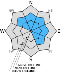
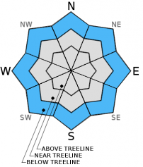
| Mid Slope Winds: | Southwest | Southwest | Southwest |
| Wind Speed: | 25 to 35 mph with gusts to 50 mph. | 10 to 20 mph. Gusts to 35 mph decreasing to 25 mph after midnight. | 10 to 15 mph with gusts to 25. |
| Expected snowfall: | 6 to 12 | 4 to 8 | Trace |
For 8000 ft. to 9000 ft.
| Saturday | Saturday Night | Sunday | |
|---|---|---|---|
| Weather: | Cloudy skies with snow. | Cloudy skies with snow. | Mostly cloudy skies with a slight chance of snow throughout the day. |
| Temperatures: | 33 to 39 deg. F. | 12 to 19 deg. F. | 27 to 33 deg. F. |
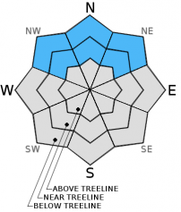
| Ridge Top Winds: | Southwest | Southwest | West |
| Wind Speed: | 50 to 60 mph with gusts to 90 mph. | 25 to 35 mph. Gusts to 55 mph decreasing to 45 mph after midnight. | 15 to 25 mph. Gusts to 40 mph decreasing to 30 mph in the afternoon. |
| Expected snowfall: | 6 to 12 | 4 to 8 | Trace |


