


For 7000 ft. to 8000 ft.
| Saturday | Saturday Night | Sunday | |
|---|---|---|---|
| Weather: | Mostly cloudy skies. | Mostly cloudy skies. | Mostly cloudy skies. A chance of snow. |
| Temperatures: | 36 to 43 deg. F. | 29 to 34 deg. F. | 35 to 42 deg. F. |
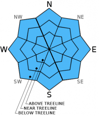
| Mid Slope Winds: | S | S | SW |
| Wind Speed: | Light winds becoming 10 to 20 mph with gusts to 30 mph in the afternoon. | 15 to 25 mph. Gusts to 45 mph. | 30 to 40 mph with gusts to 60 mph. |
| Expected snowfall: | 0 | 0 | Up to 1 |
For 8000 ft. to 9000 ft.
| Saturday | Saturday Night | Sunday | |
|---|---|---|---|
| Weather: | Mostly cloudy skies. | Mostly cloudy skies. | Mostly cloudy skies. A chance of snow. |
| Temperatures: | 35 to 42 deg. F. | 28 to 32 deg. F. | 35 to 43 deg. F. |
| Ridge Top Winds: | SW | S shifting to SW | SW |
| Wind Speed: | 10 to 15 mph increasing to 20 to 35 mph with gusts to 45 mph in the afternoon. | 30 to 40 mph with gusts to 70 mph, shifting and increasing to 45 to 60 mph with gusts to 85 mph after midnight. | 45 to 60 mph with gusts to 90 mph, decreasing to 35 to 50 mph with gusts to 70 mph in the afternoon. |
| Expected snowfall: | 0 | 0 | Up to 1 |


