


For 7000 ft. to 8000 ft.
| Monday | Monday Night | Tuesday | |
|---|---|---|---|
| Weather: | Mostly cloudy skies. | Mostly cloudy skies. | Mostly cloudy skies. |
| Temperatures: | 43 to 50 deg. F. | 28 to 36 deg. F. | 47 to 54 deg. F. |
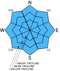
| Mid Slope Winds: | SW | SW | SW |
| Wind Speed: | 20 to 30 mph with gusts to 45 mph. | 15 to 25 mph with gusts to 40 mph. | 15 to 20 mph with gusts to 30 mph. |
| Expected snowfall: | 0 | 0 | 0 |
For 8000 ft. to 9000 ft.
| Monday | Monday Night | Tuesday | |
|---|---|---|---|
| Weather: | Mostly cloudy skies. | Mostly cloudy skies. | Mostly cloudy skies. |
| Temperatures: | 41 to 48 deg. F. | 28 to 35 deg. F. | 44 to 51 deg. F. |
| Ridge Top Winds: | SW | W | W |
| Wind Speed: | 30 to 40 mph with gusts to 60 mph. | 30 to 40 mph with gusts to 60 mph. Gusts decreasing to 50 mph after midnight. | 20 to 30 mph with gusts to 45 mph. |
| Expected snowfall: | 0 | 0 | 0 |


