


For 7000 ft. to 8000 ft.
| Sunday | Sunday Night | Monday | |
|---|---|---|---|
| Weather: | Sunny skies. | Clear skies. | Partly cloudy skies. |
| Temperatures: | 23 to 30 deg. F. | 5 to 15 deg. F. | 28 to 30 deg. F. |
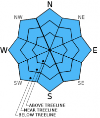
| Mid Slope Winds: | Variable | Variable | SW |
| Wind Speed: | Light winds | Light winds | Light winds increasing to 10 to 15 mph in the afternoon. |
| Expected snowfall: | 0 | 0 | 0 |
For 8000 ft. to 9000 ft.
| Sunday | Sunday Night | Monday | |
|---|---|---|---|
| Weather: | Sunny skies. | Clear skies. | Partly cloudy skies. |
| Temperatures: | 21 to 28 deg. F. | 9 to 15 deg. F. | 26 to 33 deg. F. |
| Ridge Top Winds: | Variable | W | W |
| Wind Speed: | Light winds | 10 to 15 mph. Gusts up to 25 mph in the evening. | 15 to 20 mph with gusts to 30 mph. |
| Expected snowfall: | 0 | 0 | 0 |


