


For 7000 ft. to 8000 ft.
| Wednesday | Wednesday Night | Thursday | |
|---|---|---|---|
| Weather: | Mostly cloudy skies, becoming partly cloudy. Slight chance of rain in the morning, | Partly cloudy skies with a slight chance of rain after midnight. | Mostly cloudy skies, becoming cloudy. A chance of rain in the morning. Rain in the afternoon. |
| Temperatures: | 45 to 51 deg. F. | 33 to 38 deg. F. | 42 to 48 deg. F. |
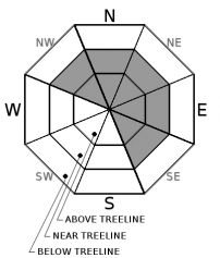
| Mid Slope Winds: | SW | SW | SW |
| Wind Speed: | 15 to 25 mph with gusts to 60 mph, increasing to 25 to 35 mph with gusts to 80 mph in the afternoon. | 25 to 35 mph with gusts to 80 mph. | 25 to 35 mph with gusts up to 80 mph. |
| Expected snowfall: | 0 | 0 | 0 |
For 8000 ft. to 9000 ft.
| Wednesday | Wednesday Night | Thursday | |
|---|---|---|---|
| Weather: | Mostly cloudy skies, becoming partly cloudy. Slight chance of rain and snow in the morning, | Partly cloudy skies with a slight chance of rain and snow after midnight. | Mostly cloudy skies, becoming cloudy. A chance of rain and snow in the morning. Rain and snow in the afternoon. |
| Temperatures: | 37 to 45 deg. F. | 31 to 36 deg. F. | 37 to 45 deg. F. |
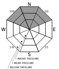
| Ridge Top Winds: | SW | SW | SW |
| Wind Speed: | 30 to 45 mph with gusts to 110 mph, increasing to 35 to 55 mph with gusts to 120 mph in the afternoon. | 40 to 60 mph with gusts to 130 mph. | 35 to 55 mph with gusts up to 125 mph. |
| Expected snowfall: | 0 | 0 | 2 to 4 |


