


For 7000 ft. to 8000 ft.
| Friday | Friday Night | Saturday | |
|---|---|---|---|
| Weather: | Mostly cloudy with a slight chance of snow | Mostly cloudy with a chance of snow in the evening and a slight chance of snow after midnight | Mostly cloudy |
| Temperatures: | 32 to 38 deg. F. | 20 to 28 deg. F. | 37 to 42 deg. F. |
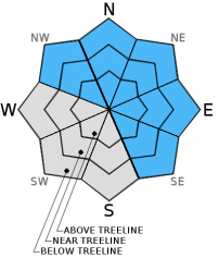
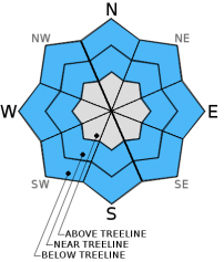
| Mid Slope Winds: | Southwest | Southwest | South |
| Wind Speed: | 25 to 45 mph with gusts to 65 mph | 20 to 40 mph with gusts to 60 mph decreasing to 15 to 25 mph with gusts to 40 mph after midnight | 10 to 15 mph |
| Expected snowfall: | up to 1 | up to 1 | 0 |
For 8000 ft. to 9000 ft.
| Friday | Friday Night | Saturday | |
|---|---|---|---|
| Weather: | Mostly cloudy with a slight chance of snow | Mostly cloudy with a chance of snow in the evening and a slight chance of snow after midnight | Mostly cloudy |
| Temperatures: | 29 to 34 deg. F. | 18 to 25 deg. F. | 33 to 39 deg. F. |
| Ridge Top Winds: | Southwest | Southwest | South |
| Wind Speed: | 50 to 60 mph with gusts to 85 mph | 55 to 60 mph with gusts to 80 mph decreasing to 35 to 40 mph with gusts to 60 mph after midnight | 15 to 20 mph with gusts to 35 mph in the morning |
| Expected snowfall: | up to 1 | up to 1 | 0 |


