


For 7000 ft. to 8000 ft.
| Friday | Friday Night | Saturday | |
|---|---|---|---|
| Weather: | Cloudy. Rain in the morning, snow through the day. | Cloudy. Snow. | Mostly cloudy. Chance of snow. |
| Temperatures: | 31 to 36 deg. F. | 23 to 28 deg. F. | 34 to 39 deg. F. |
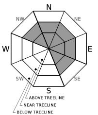
| Mid Slope Winds: | SW | SW | SW |
| Wind Speed: | 20 to 30mph. Gust to 75mph. | 20 to 30mph. Gusts to 75mph decreasing to 65mph after midnight. | 20 to 30mph with gusts to 55mph. |
| Expected snowfall: | 4 to 10 | 4 to 8 | Up to 1 |
For 8000 ft. to 9000 ft.
| Friday | Friday Night | Saturday | |
|---|---|---|---|
| Weather: | Cloudy. Snow. | Cloudy. Snow in the evening then snow likely after midnight. | Mostly cloudy. Chance of snow showers. |
| Temperatures: | 28 to 33 deg. F. | 22 to 27 deg. F. | 29 to 35 deg. F. |
| Ridge Top Winds: | SW | SW | SW |
| Wind Speed: | 35 to 45mph with gusts to 100mph. | 30 to 50mph with gusts to 100mph. | 25 to 40mph with gusts to 80mph. |
| Expected snowfall: | 4 to 10 | 6 to 8 | Up to 1 |


