


For 7000 ft. to 8000 ft.
| Friday | Friday Night | Saturday | |
|---|---|---|---|
| Weather: | Sunny then becoming partly cloudy. | Cloudy. Chance of snow after midnight. | Cloudy. Snow through the morning. Rain in the afternoon. |
| Temperatures: | 28 to 33 deg. F. | 19 to 24 deg. F. | 35 to 40 deg. F. |
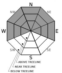
| Mid Slope Winds: | S | S | |
| Wind Speed: | Light winds. | 10 to 15mph after midnight. Gusts to 30mph. | 15 to 25mph with gusts to 45mph. |
| Expected snowfall: | 0 | 0 | 5 to 10 |
For 8000 ft. to 9000 ft.
| Friday | Friday Night | Saturday | |
|---|---|---|---|
| Weather: | Sunny then becoming partly cloudy. | Cloudy. Slight chance of snow after midnight. | Cloudy. Snow |
| Temperatures: | 27 to 32 deg. F. | 19 to 24 deg. F. | 33 to 38 deg. F. |
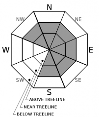
| Ridge Top Winds: | SW | SW | SW |
| Wind Speed: | 10 to 15mph with gusts to 40mph in the afternoon. | 20 to 30mph. Gusts to 50mph increasing to 65mph after midnight. | 25 to 40mph with gusts to 90mph increasing to 40 to 60mph with gusts to 100mph in the afternoon. |
| Expected snowfall: | 0 | 0 | 6 to 12 |


