These observations document past conditions at a small and variable scale. They are not to be confused with an avalanche forecast. They come from a variety of sources. We can only vouch for the quality of those produced by the SAC forecasters and professional observers.
Date and time of observation or avalanche occurrence Location Media Observation made by
03/01/2020 - 13:00

Snowpack Observation
Near Elephants Back

Carson Pass Area
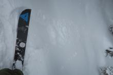
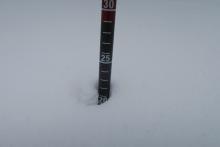
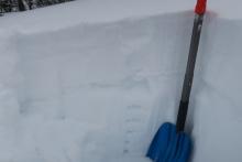
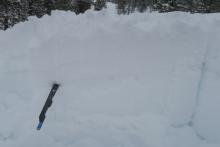
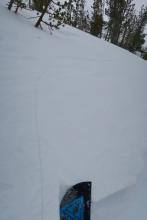
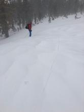
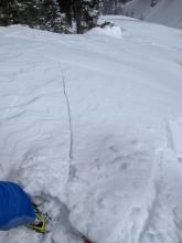
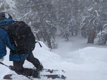
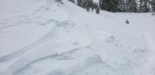
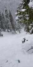
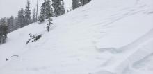
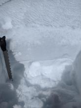
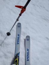
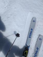
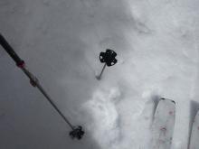
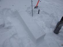
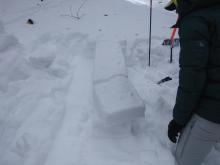
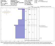
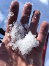
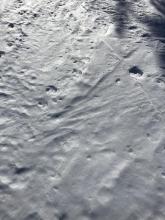
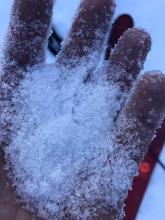
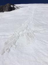
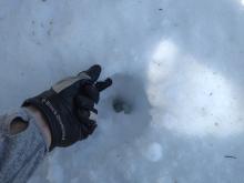
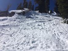
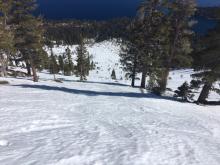
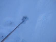
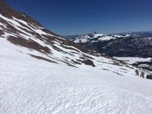
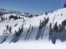
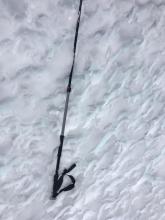
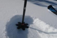
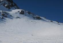
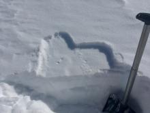
A ski kick on a steep somewhat wind protected slope created a small loose dry avalanche that ran until the slope angle lessened. Measuring new snow in a fairly wind protected area: about 22 cms Hand hardness in a quick pit. New snow F hard, then a decomposing crust, then more F hard then progressively firmer snow. Using a loaded PST to look at weak snow below crust: PST 10/100 END Many long shooting cracks in near and above treeline terrain. This one was about 15 feet. Professional Observer
03/01/2020 - 12:45

Snowpack Observation
Incline Lake Peak

Mount Rose Area
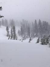
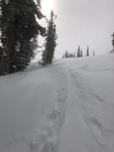
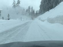
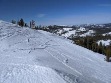
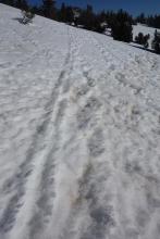
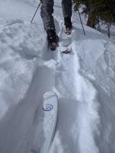
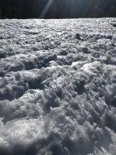
Snow transport refilling skin track Small wind slabs near treeline Public
03/01/2020 - 12:00

Snowpack Observation
Andesite Peak

Donner Summit Area
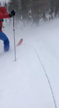
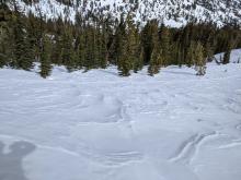
A long shooting crack on an open slope loaded by NE winds. The crack goes from where the photo was taken to the person in the red jacket. Wind scouring by the NE winds Another shooting crack on a cross-loaded SE aspect in near treeline terrain Shooting crack triggered on low angle slope loaded by the NE winds in near treeline terrain 3 ft thick wind slab resting on softer storm snow on top of an old firm crust. Forecaster
03/01/2020 - 11:45

Avalanche Observation
Andesite Peak

Donner Summit Area
Loose dry avalanche on a steep slope sheltered from the wind that entrained the new snow Forecaster
03/01/2020 - 11:00

Avalanche Observation
Deep creek

Cabin Creek, Deep Creek, or Pole Creek Area
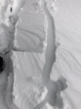
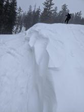
Two crowns from single ski cut.   Release occured from above skier (near,) and below (far.). Slide path Wind effect on cornice at end of ski cut. Public
03/01/2020 - 07:45

Avalanche Observation
Carson Spur

Carson Pass Area
Public
02/29/2020 - 12:00

Snowpack Observation
Castle Peak

Donner Summit Area
Wet surface snow on top of a thick refrozen melt freeze crust on top of more wet snow on a SE aspect at 8000 ft at 10:40 am Firm refrozen melt-freeze conditions on a S aspect at 8300 ft. @ 11:00 am Corn snow conditions on a SE aspect at 8000 ft at 10:30 am. Raised tracks and firm scoured surfaces on an exposed NE aspect at 8200 ft. Forecaster
02/29/2020 - 10:00

Snowpack Observation
Chickadee Ridge

Mount Rose Area
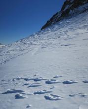
Fins in an old ski track, ~6 inches tall in some areas Public
02/28/2020 - 11:30

Snowpack Observation
Red Lake Peak

Carson Pass Area
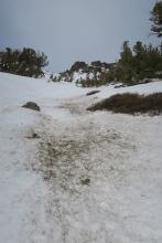
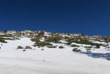
Firm conditions around 11am on a sunny slope. Pine needles and other wind blown debris still present in the gut of gullies. Looking towards Lake Tahoe from near the summit. Professional Observer
02/28/2020 - 11:15

Snowpack Observation
Incline Lake Peak

Mount Rose Area
Widespread cloud cover today Some softer weaker snow on sheltered untracked N aspects Weak refreeze on a tree covered sun-exposed slope Wind scoured firm surfaces on open areas near and above treeline Artificially loaded PST with about 10 cm of "slab" on top of it to test the current snow surface Results of the artificially loaded PST 40/100 Slab Fracture Forecaster
02/27/2020 - 16:00

Snowpack Observation
Tamarak Peak

Mount Rose Area
Large, relatively wet, icy grains found on the surface of an east/southeast facing slope in a relatively open area below treeline. Hard, unbreakable crust in a shady flat area. Uneven sun sculpted snow on a southeast facing slope near treeline. Snow surface here was composed of roughly hand-sized icy "fins" that extended about 1-3 inches above snow surface. Dry, sugary snow on a well-protect north facing slope near treeline. A thin (0.5 in) weak crust was on the surface. Public
02/27/2020 - 11:30

Snowpack Observation
Mt. Judah

Donner Summit Area
Early signs of a developing loose wet avalanche problem at 11:30 am on at S aspect at ~7,800'. Superficial refreeze of the top 2 inches of the snowpack with wet snow below in areas under forest canopy. Forecaster
02/26/2020 - 11:30

Snowpack Observation
Jake's Peak

West Shore Area
Wet snow on E aspect at ~9,000', moving towards loose wet instability. Punchy, still transitional snow on E aspect, mid elevation terrain Dry surface facets in the shade on NE aspects above ~8,500'. Forecaster
02/25/2020 - 12:00

Snowpack Observation
Stevens Peak

Carson Pass Area
South side of Stevens Peak Areas of smooth snow on northerly aspects from recent 1'' snow event. Uneven sun sculpted snow. Forecaster
02/24/2020 - 12:30

Snowpack Observation
Roundtop

Carson Pass Area
Around an inch of soft new snow still present in shady terrain at 8600. A couple day old powder turns. Reverse bootpack at the ridge. While south facing slopes in this area are still rideable down to 7600 feet, coverage is rapidly shrinking. Examining the new snow and what is below. Professional Observer

Pages