The last avalanche forecast for the 2023-2024 season will post on April 21st. Thank you to all who contributed to the avalanche center this season through observations, volunteer time, and/or financial contributions.
In partnership with: 
The last avalanche forecast for the 2023-2024 season will post on April 21st. Thank you to all who contributed to the avalanche center this season through observations, volunteer time, and/or financial contributions.
| Date and time of observation or avalanche occurrence | Location | Media | Observation made by |
|---|---|---|---|
|
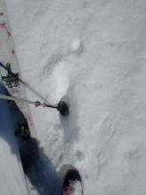
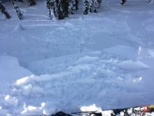
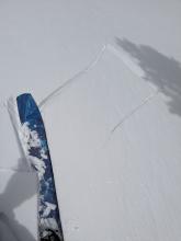
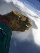
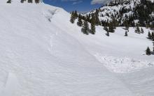
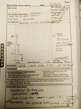
04/01/2023 - 15:21 Snowpack Observation |
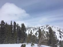
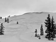
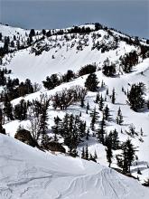
Johnson Canyon Donner Summit Area |
 |
Public |
|
03/20/2019 - 12:00 Snowpack Observation |
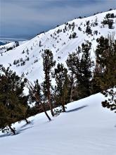
Tamarack Peak Mount Rose Area |
    |
Forecaster |
|
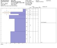
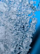
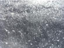
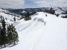
04/06/2021 - 11:30 Snowpack Observation |
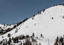
Relay Peak Mount Rose Area |
  |
Forecaster |
|
12/26/2018 - 14:00 Snowpack Observation |
Munchkins Zone - East Bowl Blackwood Canyon or Ward Canyon Area |
    |
Public |
|
03/27/2020 - 12:00 Snowpack Observation |
Squaw Ridge Carson Pass Area |
   |
Professional Observer |
|
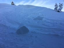
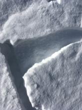
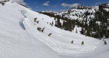
12/02/2022 - 00:50 Avalanche Observation |
Elephants hump zone Carson Pass Area |
  |
Public |
|
04/08/2023 - 10:50 Snowpack Observation |
Relay Peak Mount Rose Area |
   |
Forecaster |
|
03/24/2019 - 10:00 Snowpack Observation |
Tamarack Peak/Fireplug Mount Rose Area |
 |
Public |
|
04/14/2021 - 15:00 Snowpack Observation |
Elephant's Hump Area Carson Pass Area |
Public | |
|
01/02/2019 - 10:00 Snowpack Observation |
Porcupine Ridge Luther Pass Area (including Job and Freel) |
    |
Professional Observer |
|
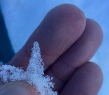
03/29/2020 - 11:00 Snowpack Observation |
E-ridge of Tamarack Mount Rose Area |
    |
Public |
|
12/04/2022 - 11:00 Snowpack Observation |
Mt. Lola Little Truckee Summit Areas |
Guide West Wind Collecti |
|
|
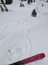
04/11/2023 - 11:30 Avalanche Observation |
Johnson Canyon Donner Summit Area |
      |
Forecaster |
|
03/23/2019 - 14:30 Avalanche Observation |
Mt. Reba Bear Valley Area |
   |
Public |
|
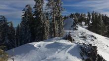
10/26/2021 - 09:00 Snowpack Observation |
Gold Peak (aka Silver Peak West, aka Pk 8426) Cabin Creek, Deep Creek, or Pole Creek Area |
     |
Public |


This website is owned and maintained by the non-profit arm of the Sierra Avalanche Center. Some of the content is updated by the USDA avalanche forecasters including the forecasts and some observational data. The USDA is not responsible for any advertising, fund-raising events/information, or sponsorship information, or other content not related to the forecasts and the data pertaining to the forecasts.