

The last avalanche forecast for the 2023-2024 season will post on April 21st. Thank you to all who contributed to the avalanche center this season through observations, volunteer time, and/or financial contributions.
In partnership with: 
The last avalanche forecast for the 2023-2024 season will post on April 21st. Thank you to all who contributed to the avalanche center this season through observations, volunteer time, and/or financial contributions.
| Date and time of observation or avalanche occurrence | Location | Media | Observation made by |
|---|---|---|---|
|
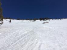
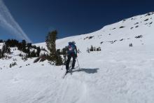
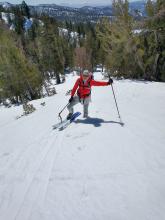
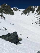
04/04/2021 - 11:30 Snowpack Observation |
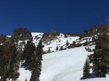
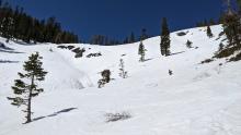
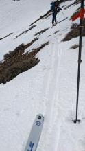
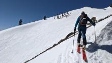
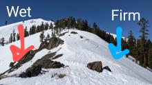
Castle Peak Donner Summit Area |
  |
Guide Tahoe Mountain Scho |
|
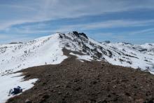
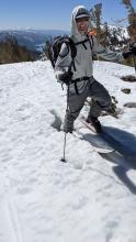
04/04/2021 - 10:30 Snowpack Observation |
Rubicon Peak West Shore Area |
    |
Forecaster |
|
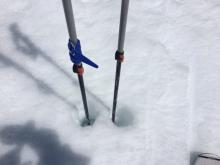
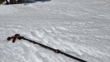
04/04/2021 - 10:20 Snowpack Observation |
Crater Lake Carson Pass Area |
   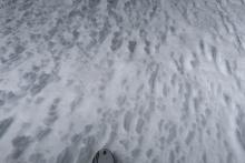  |
Public |
|
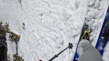
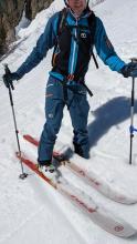
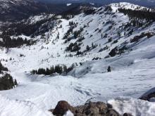
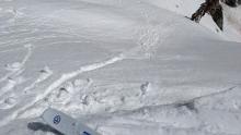
04/04/2021 - 09:00 Avalanche Observation |
Silver Peak Cabin Creek, Deep Creek, or Pole Creek Area |
  |
Public |
|
04/03/2021 - 12:00 Snowpack Observation |
Relay Peak Mount Rose Area |
   |
Forecaster |
|
04/02/2021 - 11:00 Snowpack Observation |
Mt. Judah Donner Summit Area |
     |
Forecaster |
|
04/01/2021 - 11:30 Snowpack Observation |
South Side Castle Peak Donner Summit Area |
     |
Forecaster |
|
04/01/2021 - 10:00 Snowpack Observation |
Elephants Back Carson Pass Area |
      |
Professional Observer |
|
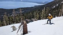
04/01/2021 - 10:00 Snowpack Observation |
Mt Tallac Desolation Wilderness Area (including Emerald Bay) |
    |
Professional Observer |
|
03/31/2021 - 13:10 Snowpack Observation |
Meiss Meadow Carson Pass Area |
 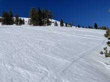    |
Professional Observer |
|
03/31/2021 - 12:00 Snowpack Observation |
Houghton and Tamarack Peaks Mount Rose Area |
Public | |
|
03/31/2021 - 11:30 Snowpack Observation |
Silver Peak Cabin Creek, Deep Creek, or Pole Creek Area |
     |
Forecaster |
|
03/30/2021 - 12:00 Snowpack Observation |
Incline Peak Mount Rose Area |
   |
Forecaster |
|
03/30/2021 - 10:00 Snowpack Observation |
Raslton/Talking ridge Echo Summit Area |
    |
Professional Observer |
|
03/29/2021 - 23:30 Snowpack Observation |
Rubicon Pk West Shore Area |
   |
Forecaster |


This website is owned and maintained by the non-profit arm of the Sierra Avalanche Center. Some of the content is updated by the USDA avalanche forecasters including the forecasts and some observational data. The USDA is not responsible for any advertising, fund-raising events/information, or sponsorship information, or other content not related to the forecasts and the data pertaining to the forecasts.