

The last avalanche forecast for the 2023-2024 season posted on April 21st. Thank you to all who contributed to the avalanche center this season through observations, volunteer time, and/or financial contributions.
In partnership with: 
The last avalanche forecast for the 2023-2024 season posted on April 21st. Thank you to all who contributed to the avalanche center this season through observations, volunteer time, and/or financial contributions.
These observations document past conditions at a small and variable scale. They are not to be confused with an avalanche forecast. They come from a variety of sources. We can only vouch for the quality of those produced by the SAC forecasters and professional observers.
| Date and time of observation or avalanche occurrence | Location | Snowpack, Avalanche, Weather Images | Observation made by |
|---|---|---|---|
|
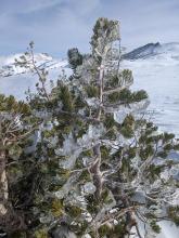
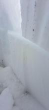
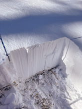
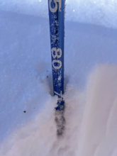
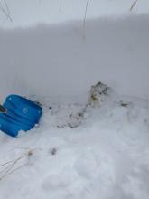
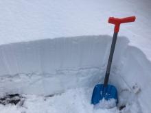
11/11/2022 - 10:00 Snowpack Observation |
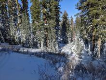
Meiss Meadow Carson Pass Area |
 |
Public |
|
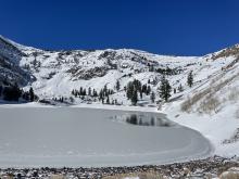
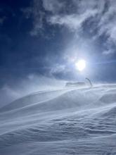
11/10/2022 - 14:15 Snowpack Observation |
Red Lake Peak Carson Pass Area |
       |
Professional Observer |
|
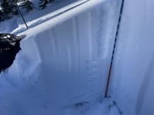
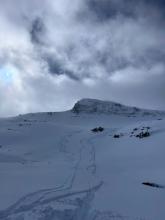
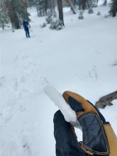
11/10/2022 - 13:00 Snowpack Observation |
Lincoln Ridge Yuba Pass Area |
      |
Forecaster |
|
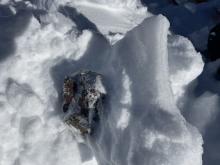
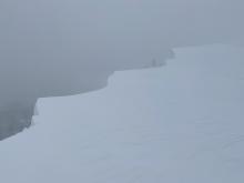
11/10/2022 - 12:00 Snowpack Observation |
Rubicon West Shore Area |
Public | |
|
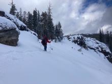
11/10/2022 - 11:37 Avalanche Observation |
Sierra at tahoe Echo Summit Area |
 |
Public |
|
11/10/2022 - 10:00 Snowpack Observation |
Old Iron Mountain ski area Outside of the Forecast Area |
    |
Public |
|
11/09/2022 - 16:37 Avalanche Observation |
Judah |
   |
Public |
|
11/09/2022 - 15:15 Avalanche Observation |
Grouse Rock Blackwood Canyon or Ward Canyon Area |
  |
Guide Alpenglow Expeditions |
|
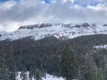
11/09/2022 - 13:00 Snowpack Observation |
East Ridge Tamarack Peak Mount Rose Area |
   |
Forecaster |
|
11/09/2022 - 12:00 Avalanche Observation |
Elephant's Back Carson Pass Area |
   |
Educator Lake Tahoe Community College - Wilderness Education |
|
11/09/2022 - 12:00 Avalanche Observation |
Mt Judah Donner Summit Area |
    |
Public |
|
11/09/2022 - 11:23 Avalanche Observation |
Relay Peak Ridgeline Mount Rose Area |
   |
Educator Alpenglow Expeditions |
|
11/09/2022 - 11:00 Snowpack Observation |
Rowton Peak Donner Summit Area |
Public | |
|
11/09/2022 - 11:00 Snowpack Observation |
Andesite Ridge Donner Summit Area |
Public | |
|
11/09/2022 - 08:00 Avalanche Observation |
Grouse Rock Blackwood Canyon or Ward Canyon Area |
 |
Public |
|
11/08/2022 - 14:00 Snowpack Observation |
Burnt Glades Echo Summit Area |
    |
Public |
|
11/08/2022 - 12:00 Snowpack Observation |
Castle Peak Donner Summit Area |
    |
Forecaster |
|
11/07/2022 - 13:00 Snowpack Observation |
Andesite Ridge Donner Summit Area |
     |
Forecaster |
|
11/07/2022 - 10:44 Snowpack Observation |
Mount Rose Meadows Mount Rose Area |
    |
Educator Alpenglow Expeditions |
|
11/04/2022 - 11:00 Snowpack Observation |
Tamarack Peak Mount Rose Area |
    |
Forecaster |


This website is owned and maintained by the non-profit arm of the Sierra Avalanche Center. Some of the content is updated by the USDA avalanche forecasters including the forecasts and some observational data. The USDA is not responsible for any advertising, fund-raising events/information, or sponsorship information, or other content not related to the forecasts and the data pertaining to the forecasts.