


For 7000 ft. to 8000 ft.
| Saturday | Saturday Night | Sunday | |
|---|---|---|---|
| Weather: | Sunny skies. | Clear skies. | Sunny skies. |
| Temperatures: | 43 to 51 deg. F. | 22 to 27 deg. F. | 46 to 53 deg. F. |
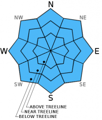
| Mid Slope Winds: | Variable | Variable | Variable |
| Wind Speed: | Light winds | Light winds | Light winds |
| Expected snowfall: | 0 | 0 | 0 |
For 8000 ft. to 9000 ft.
| Saturday | Saturday Night | Sunday | |
|---|---|---|---|
| Weather: | Sunny skies. | Clear skies. | Sunny skies. |
| Temperatures: | 38 to 44 deg. F. | 21 to 26 deg. F. | 41 to 47 deg. F. |
| Ridge Top Winds: | Variable | Variable | Variable |
| Wind Speed: | Light winds | Light winds | Light winds |
| Expected snowfall: | 0 | 0 | 0 |


