


For 7000 ft. to 8000 ft.
| Tuesday | Tuesday Night | Wednesday | |
|---|---|---|---|
| Weather: | Partly cloudy in the morning becoming mostly cloudy with a chance of rain and snow showers in the afternoon. | Snow | Snow |
| Temperatures: | 38 to 46 deg. F. | 24 to 29 deg. F. | 24 to 34 deg. F. |
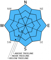
| Mid Slope Winds: | Southwest | Southwest | Southwest |
| Wind Speed: | 15 to 25 mph with gusts to 40 mph increasing to 20 to 35 mph with gusts 50 to 60 mph in the afternoon | 15 to 30 mph with gusts to 45 mph | 20 to 35 mph with gusts 45 to 55 mph |
| Expected snowfall: | 0 to 1 | up to 4 | 2 to 9 |
For 8000 ft. to 9000 ft.
| Tuesday | Tuesday Night | Wednesday | |
|---|---|---|---|
| Weather: | Partly cloudy in the morning becoming mostly cloudy with a chance of snow showers in the afternoon | Snow | Snow |
| Temperatures: | 31 to 38 deg. F. | 21 to 26 deg. F. | 24 to 29 deg. F. |
| Ridge Top Winds: | Southwest | Southwest | Southwest |
| Wind Speed: | 25 to 45 mph with gusts 60 to 80 mph | 25 to 45 mph with gusts 50 to 70 mph | 25 to 45 mph with gusts 60 to 80 mph |
| Expected snowfall: | 0 to 2 | up to 4 | 4 to 10 |


