


For 7000 ft. to 8000 ft.
| Tuesday | Tuesday Night | Wednesday | |
|---|---|---|---|
| Weather: | Sunny skies. | Clear skies, becoming partly cloudy. | Partly cloudy skies. |
| Temperatures: | 51 to 59 deg. F. | 30 to 37 deg. F. | 50 to 57 deg. F. |
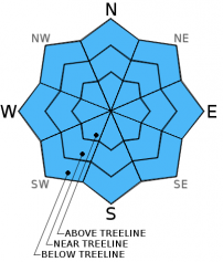
| Mid Slope Winds: | Southwest | Southwest | Southwest |
| Wind Speed: | 10 to 15 mph with gusts up to 25 mph in the afternoon. | 10 to 15 mph with gusts to 25 mph. | 15 to 20 mph with gusts to 30 mph. |
| Expected snowfall: | 0 | 0 | 0 |
For 8000 ft. to 9000 ft.
| Tuesday | Tuesday Night | Wednesday | |
|---|---|---|---|
| Weather: | Sunny skies. | Clear skies, becoming partly cloudy. | Partly cloudy skies. |
| Temperatures: | 51 to 57 deg. F. | 29 to 36 deg. F. | 49 to 55 deg. F. |
| Ridge Top Winds: | Southwest | Southwest | Southwest |
| Wind Speed: | 15 to 25 mph with gusts to 35 mph. | 15 to 25 mph with gusts to 35 mph. | 15 to 25 mph with gusts to 40 mph. |
| Expected snowfall: | 0 | 0 | 0 |


