


For 7000 ft. to 8000 ft.
| Tuesday | Tuesday Night | Wednesday | |
|---|---|---|---|
| Weather: | Sunny | Clear then becoming partly cloudy. | Partly cloudy. |
| Temperatures: | 16 to 23 deg. F. | 10 to 18 deg. F. | 26 to 31 deg. F. |
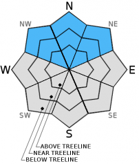
| Mid Slope Winds: | NE | NE | N |
| Wind Speed: | 10 to 20mph with gusts to 35mph. | 10 to 15mph with gusts to 30mph | 10 to 15mph |
| Expected snowfall: | 0 | 0 | 0 |
For 8000 ft. to 9000 ft.
| Tuesday | Tuesday Night | Wednesday | |
|---|---|---|---|
| Weather: | Sunny | Clear then becoming partly cloudy. | Partly cloudy. |
| Temperatures: | 15 to 22 deg. F. | 14 to 18 deg. F. | 24 to 31 deg. F. |
| Ridge Top Winds: | NE | NE | NW |
| Wind Speed: | 20 to 35mph with gusts to 55mph | 20 to 30mph with gusts to 55mph | 15 to 25mph with gusts to 40mph. |
| Expected snowfall: | 0 | 0 | 0 |


