


For 7000 ft. to 8000 ft.
| Sunday | Sunday Night | Monday | |
|---|---|---|---|
| Weather: | Mostly cloudy skies with periods of snow showers, mainly south of Hwy 50. | Partly cloudy skies. | Mostly cloudy skies with a chance of snow showers. |
| Temperatures: | 27 to 32 deg. F. | 13 to 20 deg. F. | 27 to 34 deg. F. |
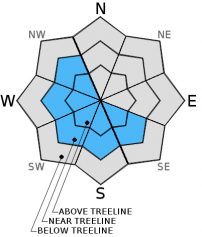
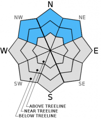
| Mid Slope Winds: | NE | Variable | NW |
| Wind Speed: | 15 to 20 mph, gusts up to 30 mph in the morning. | Light winds | Light winds increasing to 10 to 15 mph in the afternoon. |
| Expected snowfall: | 0 to 1 | 0 | Trace to 1 |
For 8000 ft. to 9000 ft.
| Sunday | Sunday Night | Monday | |
|---|---|---|---|
| Weather: | Mostly cloudy skies with periods of snow showers, mainly south of Hwy 50. | Partly cloudy skies. | Mostly cloudy skies with a chance of snow showers. |
| Temperatures: | 23 to 29 deg. F. | 11 to 18 deg. F. | 26 to 32 deg. F. |
| Ridge Top Winds: | NE | E | NW |
| Wind Speed: | 15 to 25 mph with gusts to 45 mph, focused over the Sierra Crest. | 10 to 15 mph with gusts to 25 mph in the evening, becoming light. | Light winds increasing to 10 to 15 mph with gusts to 25 mph in the afternoon. |
| Expected snowfall: | 0 to 1 | 0 | Trace to 2 |


