


For 7000 ft. to 8000 ft.
| Wednesday | Wednesday Night | Thursday | |
|---|---|---|---|
| Weather: | Sunny | Partly cloudy. | Sunny then becoming partly cloudy. |
| Temperatures: | 50 to 56 deg. F. | 29 to 36 deg. F. | 52 to 58 deg. F. |
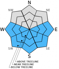
| Mid Slope Winds: | SW | SW | |
| Wind Speed: | 5 to 15mph in the morning becoming light. | Light winds | Up to 10mph. |
| Expected snowfall: | 0 | 0 | 0 |
For 8000 ft. to 9000 ft.
| Wednesday | Wednesday Night | Thursday | |
|---|---|---|---|
| Weather: | Sunny | Partly cloudy | Sunny then becoming partly cloudy. |
| Temperatures: | 43 to 51 deg. F. | 34 to 40 deg. F. | 45 to 52 deg. F. |
| Ridge Top Winds: | SW | SW | SW |
| Wind Speed: | 15 to 25mph with gusts to 35mph. | 10 to 15mph with gusts to 25mph. | 10 to 15mph with gusts to 25mph. |
| Expected snowfall: | 0 | 0 | 0 |


