


For 7000 ft. to 8000 ft.
| Sunday | Sunday Night | Monday | |
|---|---|---|---|
| Weather: | Sunny then becoming partly cloudy. Slight chance of showers in the afternoon. | Mostly cloudy. Slight chance of showers. | Partly cloudy then becoming sunny. Chance of showers in the morning. |
| Temperatures: | 42 to 48 deg. F. | 26 to 31 deg. F. | 35 to 41 deg. F. |
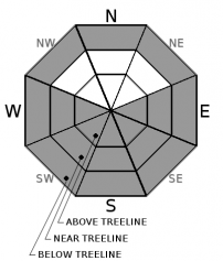
| Mid Slope Winds: | |||
| Wind Speed: | Light winds. | Light winds. | Light winds. |
| Expected snowfall: | 0 | Up to 1 | 0 |
For 8000 ft. to 9000 ft.
| Sunday | Sunday Night | Monday | |
|---|---|---|---|
| Weather: | Sunny then becoming partly cloudy. Slight chance of showers in the afternoon. | Mostly cloudy. Slight chance of showers in the evening then chance of showers after midnight. | Partly cloudy then becoming sunny. Slight chance of showers in the morning. |
| Temperatures: | 41 to 47 deg. F. | 23 to 28 deg. F. | 34 to 40 deg. F. |
| Ridge Top Winds: | NW | NW | W shifting to NE in the afternoon. |
| Wind Speed: | 10 to 15mph with gusts to 40mph. | 10 to 15mph with gusts to 35mph after midnight. | 10 to 20mph with gusts to 45mph. |
| Expected snowfall: | 0 | Up to 1 | Up to 1 |


