


For 7000 ft. to 8000 ft.
| Tuesday | Tuesday Night | Wednesday | |
|---|---|---|---|
| Weather: | High level cloud cover, generally sunny. | High level cloud cover. | High level cloud cover, generally sunny. |
| Temperatures: | 47 to 52 deg. F. | 32 to 37 deg. F. | 49 to 54 deg. F. |
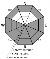
| Mid Slope Winds: | SW | W | SW |
| Wind Speed: | Light winds | Light winds | Light winds becoming 10 to 15 mph with gusts to 30 mph in the afternoon. |
| Expected snowfall: | 0 | 0 | 0 |
For 8000 ft. to 9000 ft.
| Tuesday | Tuesday Night | Wednesday | |
|---|---|---|---|
| Weather: | High level cloud cover, generally sunny. | High level cloud cover. | High level cloud cover, generally sunny. |
| Temperatures: | 43 to 49 deg. F. | 31 to 36 deg. F. | 45 to 53 deg. F. |
| Ridge Top Winds: | W | SW | SW |
| Wind Speed: | 10 to 15 mph with gusts to 30 mph in the morning, becoming light. | 10 to 15 mph with gusts to 25 mph. | 15 to 25 mph. Gusts to 40 mph increasing to 55 mph in the afternoon. |
| Expected snowfall: | 0 | 0 | 0 |


