


For 7000 ft. to 8000 ft.
| Sunday | Sunday Night | Monday | |
|---|---|---|---|
| Weather: | Sunny | Clear then becoming partly cloudy. | Partly cloudy. |
| Temperatures: | 33 to 38 deg. F. | 22 to 28 deg. F. | 40 to 45 deg. F. |
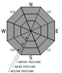
| Mid Slope Winds: | E | NE | |
| Wind Speed: | 10 to 15mph. Gusts to 50mph decreasing to 40mph in the afternoon. | Gusts up to 40mph decreasing to 30mph after midnight. | Light winds |
| Expected snowfall: | 0 | 0 | 0 |
For 8000 ft. to 9000 ft.
| Sunday | Sunday Night | Monday | |
|---|---|---|---|
| Weather: | Sunny | Clear then becoming partly cloudy. | Partly cloudy. |
| Temperatures: | 31 to 36 deg. F. | 23 to 28 deg. F. | 37 to 42 deg. F. |
| Ridge Top Winds: | E | NE | N |
| Wind Speed: | 20 to 35mph. Gusts up to 75mph decreasing to 60mph in the afternoon. | 20 to 30mph with gusts to 55mph decreasing to 15 to 20mph with gusts to 40mph after midnight. | 10 to 15mph with gusts to 25mph in the morning becoming light. |
| Expected snowfall: | 0 | 0 | 0 |


