


For 7000 ft. to 8000 ft.
| Wednesday | Wednesday Night | Thursday | |
|---|---|---|---|
| Weather: | Mostly cloudy skies, becoming cloudy. Rain showers. | Cloudy skies with a chance of rain showers. | Cloudy skies with a slight chance of rain in the morning. Rain and snow in the afternoon. Snow level 8,500' lowering to 7,500'. |
| Temperatures: | 39 to 43 deg. F. | 33 to 38 deg. F. | 39 to 44 deg. F. |
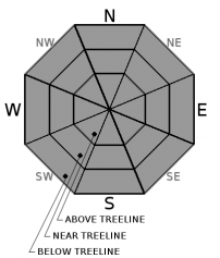
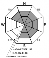
| Mid Slope Winds: | SW | SW | SW |
| Wind Speed: | 15 to 25 mph with gusts to 45 mph. Gusts increasing to 55 mph in the afternoon. | 20 to 30 mph. Gusts to 65 mph increasing to 85 mph after midnight. | 25 to 35 mph increasing to 30 to 50 mph in the afternoon. Gusts to 95 mph. |
| Expected snowfall: | 0 | 0 | Up to 4 |
For 8000 ft. to 9000 ft.
| Wednesday | Wednesday Night | Thursday | |
|---|---|---|---|
| Weather: | Mostly cloud skies, becoming cloudy. Showers in the morning. A chance of showers in the afternoon. Snow level 8,500' to 9,000'. | Mostly cloudy skies. Showers likely in the evening. A chance of showers after midnight. | Cloudy skies. A slight chance of rain and snow in the morning. Rain and snow in the afternoon. |
| Temperatures: | 32 to 38 deg. F. | 30 to 35 deg. F. | 32 to 37 deg. F. |
| Ridge Top Winds: | SW | SW | SW |
| Wind Speed: | 25 to 35 mph with gusts to 80 mph, increasing to 30 to 45 mph with gusts to 90 mph in the afternoon. | 35 to 50 mph with gusts to 110 mph, increasing to 45 to 60 mph with gusts to 130 mph after midnight. | 60 to 80 mph. Gusts to 145 mph decreasing to 130 mph in the afternoon. |
| Expected snowfall: | 2 to 4 | 0 to 1 | 4 to 6 |


