


For 7000 ft. to 8000 ft.
| Saturday | Saturday Night | Sunday | |
|---|---|---|---|
| Weather: | Mostly cloudy. Scattered snow showers in the morning. | Mostly cloudy. | Mostly cloudy. Slight chance of snow in the morning then chance of snow in the afternoon. |
| Temperatures: | 37 to 43 deg. F. | 22 to 30 deg. F. | 40 to 46 deg. F. |
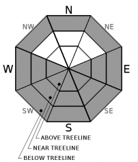
| Mid Slope Winds: | SW | SW | |
| Wind Speed: | Gusts up to 25mph in the morning. | Light winds | Light winds becoming 15 to 20mph with gusts to 40mph in the afternoon. |
| Expected snowfall: | Trace to 1 | 0 | Up to 1 |
For 8000 ft. to 9000 ft.
| Saturday | Saturday Night | Sunday | |
|---|---|---|---|
| Weather: | Mostly cloudy. Scattered snow showers in the morning. | Partly cloudy then becoming mostly cloudy. | Mostly cloudy. Slight chance of snow in the morning then chance of snow in the afternoon. |
| Temperatures: | 32 to 38 deg. F. | 23 to 28 deg. F. | 37 to 43 deg. F. |
| Ridge Top Winds: | SW | SW | SW |
| Wind Speed: | 10 to 15mph. Gusts to 45mph decreasing to 25mph in the afternoon. | 10 to 15mph in the evening then becoming light. Gusts up to 25mph. | 20 to 30mph. Gusts to 45mph increasing to 60mph in the afternoon. |
| Expected snowfall: | Up to 1 | 0 | 1 to 2 |


