


For 7000 ft. to 8000 ft.
| Sunday | Sunday Night | Monday | |
|---|---|---|---|
| Weather: | Mostly cloudy. Slight chance of snow in the morning, then chance of snow and rain in the afternoon. | Cloudy. Chance of snow in the evening then snow after midnight. | Mostly cloudy. Chance of snow showers. |
| Temperatures: | 40 to 46 deg. F. | 22 to 27 deg. F. | 33 to 38 deg. F. |
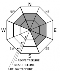
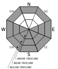
| Mid Slope Winds: | SW | SW | W |
| Wind Speed: | 15 to 20mph with gusts to 35mph. | 15 to 20mph with gusts to 40mph. | 10 to 15mph with gusts to 35mph. |
| Expected snowfall: | Trace to 2 | 3 to 6 | Up to 2 |
For 8000 ft. to 9000 ft.
| Sunday | Sunday Night | Monday | |
|---|---|---|---|
| Weather: | Mostly cloudy. Slight chance of snow in the morning, then chance of snow in the afternoon. | Cloudy. Chance of snow in the evening, then snow after midnight. | Mostly cloudy. Chance of snow showers. |
| Temperatures: | 37 to 43 deg. F. | 19 to 24 deg. F. | 28 to 34 deg. F. |
| Ridge Top Winds: | SW | SW | W |
| Wind Speed: | 20 to 30mph. Gusts to 50mph increasing to 60mph in the afternoon. | 20 to 35mph with gusts to 75mph. | 15 to 25mph. Gusts up to 65mph decreasing to 40mph in the afternoon. |
| Expected snowfall: | Trace to 2 | 70% probability: 3 to 6 inches. 30% probability 7 to 12 | Up to 2 |


