


For 7000 ft. to 8000 ft.
| Saturday | Saturday Night | Sunday | |
|---|---|---|---|
| Weather: | Cloudy with heavy rain this morning, then a chance of rain and snow showers in the afternoon. Snow levels dropping from 12000 ft. this morning to 7000 ft. by the end of the day. | Mostly cloudy becoming partly cloudy. Slight chance of snow showers in the evening. Snow levels falling below 7000 ft. | Sunny |
| Temperatures: | 41 to 46 deg. F. | 23 to 28 deg. F. | 47 to 53 deg. F. |
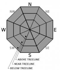
| Mid Slope Winds: | Southwest | Southwest | Southwest |
| Wind Speed: | 20 to 35 mph with gusts to 65 mph | 15 to 25 mph with gusts to 60 mph | 10 to 15 mph with gusts to 45 mph in the morning becoming light in the afternoon |
| Expected snowfall: | Rain: .85 to 1.80 in. | Snow: up to 1 | trace to 1 | 0 |
For 8000 ft. to 9000 ft.
| Saturday | Saturday Night | Sunday | |
|---|---|---|---|
| Weather: | Cloudy with heavy rain this morning, then a chance of rain and snow showers in the afternoon. Snow levels dropping from 12000 ft. this morning to 7000 ft. by the end of the day. | Mostly cloudy becoming partly cloudy. Slight chance of snow showers in the evening. Snow levels falling below 7000 ft. | Sunny |
| Temperatures: | 37 to 42 deg. F. | 21 to 26 deg. F. | 42 to 48 deg. F. |
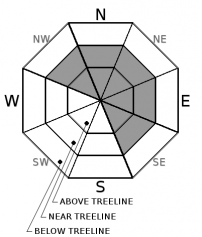
| Ridge Top Winds: | Southwest | Southwest | Southwest |
| Wind Speed: | 40 to 55 mph with gusts to 115 mph decreasing to 30 to 50 mph with gusts to 90 mph in the afternoon | 25 to 35 mph with gusts to 70 mph increasing to 30 to 45 mph with gusts to 85 mph after midnight | 25 to 35 mph with gusts to 65 mph decreasing to 15 to 25 mph with gusts to 55 mph in the afternoon |
| Expected snowfall: | Rain: .9 to 1.80 in. | Snow: 2 to 5 | Trace to 1 | 0 |


