


For 7000 ft. to 8000 ft.
| Sunday | Sunday Night | Monday | |
|---|---|---|---|
| Weather: | Sunny skies. | Clear skies. | Sunny skies. |
| Temperatures: | 47 to 53 deg. F. | 23 to 28 deg. F. | 57 to 63 deg. F. |
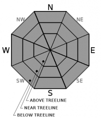
| Mid Slope Winds: | SW | Variable | NE |
| Wind Speed: | 15 to 20 mph with gusts to 40 mph in the morning, becoming light. | Light winds | Light winds |
| Expected snowfall: | 0 | 0 | 0 |
For 8000 ft. to 9000 ft.
| Sunday | Sunday Night | Monday | |
|---|---|---|---|
| Weather: | Sunny skies. | Clear skies. | Sunny skies. |
| Temperatures: | 42 to 48 deg. F. | 25 to 30 deg. F. | 52 to 58 deg. F. |
| Ridge Top Winds: | SW | W shifting to NE after midnight. | E to NE |
| Wind Speed: | 20 to 35 mph with gusts to 70 mph, decreasing to 15 to 25 mph with gusts to 50 mph in the afternoon. | 15 to 20 mph with gusts to 30 mph. | 10 to 15 mph with gusts to 25 mph in the morning, becoming light. |
| Expected snowfall: | 0 | 0 | 0 |


