


For 7000 ft. to 8000 ft.
| Friday | Friday Night | Saturday | |
|---|---|---|---|
| Weather: | Mostly cloudy | Partly cloudy becoming mostly cloudy | Mostly cloudy with a chance of rain and snow in the afternoon. Snow level starting at 6000 ft and increasing to 7000 ft. + in the afternoon. |
| Temperatures: | 40 to 45 deg. F. | 25 to 30 deg. F. | 40 to 45 deg. F. |
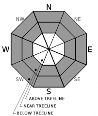
| Mid Slope Winds: | Southwest | Southwest | Variable |
| Wind Speed: | 10 to 20 mph with gusts to 35 mph | 10 to 15 mph with gusts to 30 mph | Light |
| Expected snowfall: | 0 | 0 | trace to 1 |
For 8000 ft. to 9000 ft.
| Friday | Friday Night | Saturday | |
|---|---|---|---|
| Weather: | Mostly cloudy | Partly cloudy then becoming mostly cloudy. | Mostly cloudy with a chance of rain and snow in the afternoon. |
| Temperatures: | 36 to 42 deg. F. | 24 to 29 deg. F. | 35 to 41 deg. F. |
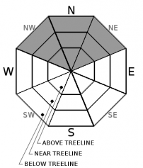
| Ridge Top Winds: | Southwest | Southwest | Southwest |
| Wind Speed: | 20 to 30 mph with gusts to 60 mph decreasing to 50 mph in the afternoon | 15 to 25 mph with gusts to 50 mph decreasing to 35 mph after midnight | 10 to 15 mph with gusts to 30 mph |
| Expected snowfall: | 0 | 0 | trace to 1 |


