THIS AVALANCHE FORECAST EXPIRED ON December 29, 2019 @ 6:52 am
Avalanche Forecast published on December 28, 2019 @ 6:52 am
Issued by Brandon Schwartz - Tahoe National Forest

MODERATE avalanche danger continues above treeline and near treeline due to recently wind drifted snow. Wind slab avalanches occurred yesterday. LOW avalanche danger continues in wind protected areas below treeline.

2. Moderate

?

Above Treeline
Heightened avalanche conditions on specific terrain features. Evaluate snow and terrain carefully; identify features of concern.

2. Moderate

?

Near Treeline
Heightened avalanche conditions on specific terrain features. Evaluate snow and terrain carefully; identify features of concern.

1. Low

?

Below Treeline
Generally safe avalanche conditions. Watch for unstable snow on isolated terrain features.
    Heightened avalanche conditions on specific terrain features. Evaluate snow and terrain carefully; identify features of concern.
Avalanche Problem 1: Wind Slab
  • Type ?
  • Aspect/Elevation ?
  • Likelihood ?
    Certain
    Very Likely
    Likely
    Possible
    Unlikely
  • Size ?
    Historic
    Very Large
    Large
    Small

Two skier triggered wind slab avalanches were reported yesterday. Ridgetop winds out of the ENE have let up only slightly in the last 24 hours. Drifted snow has formed wind slabs near treeline and above treeline on SE-S-SW-W-NW-N aspects. A mix of soft slab and hard slab conditions has been observed. Avalanche size up to D2 remains possible.

What to do about it? Use clues to identify where problematic wind slabs may exist and communicate within your group on how best to manage the combination of terrain and the avalanche problem. What clues? Blowing snow, wind scouring along ridges, snow surface patterns indicative of scouring vs deposition, new wind pillows, hollow sounding areas, and shooting cracks are indicators of where the most recent drifting and wind slab formation has occurred.

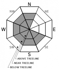
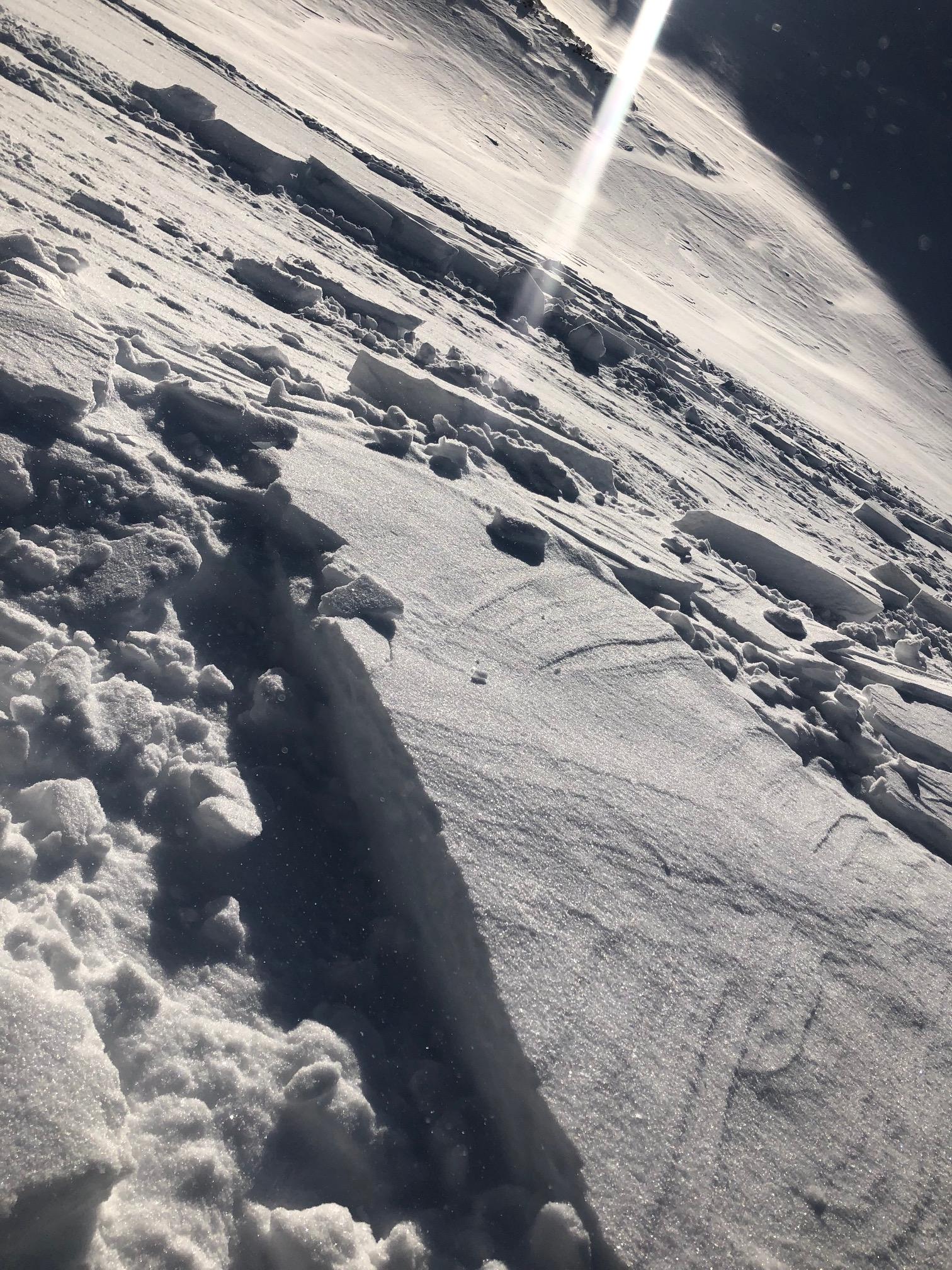
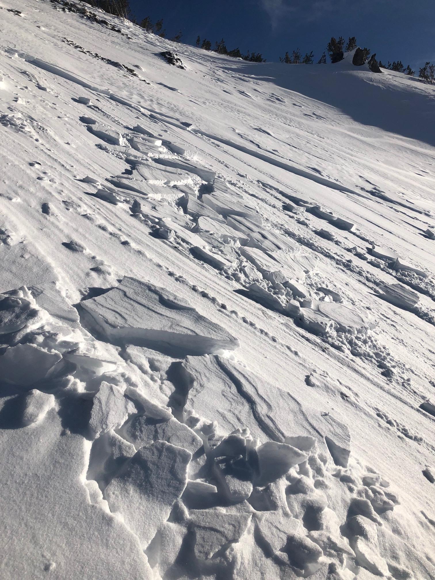
   Photos: Yesterday's intentionally triggered hard wind slab avalanche.

recent observations

* Two skier triggered wind slab avalanches occurred yesterday in above treeline terrain on the W side of Relay Peak (Mount Rose area). One unintentionally triggered soft wind slab avalanche involving partial burial occurred in the N aspect Broncho Chutes and one intentionally triggered hard wind slab avalanche occurred on the adjacent W face of Relay Pk. In both cases, avalanche size was reported at D2 and crowns were less than 1 foot. All party members were reported as okay.

* Ridgetop winds above 8,000' were moderate to strong ENE yesterday while calm conditions were reported at 8,000' and below.

* Widespread surface hoar was reported yesterday in near treeline and below treeline avalanche start zones. Intact upright surface hoar warrants monitoring for possible burial and weak layer formation with the next snowfall.

Weather and CURRENT CONDITIONS
weather summary

Ridgetop winds remain out of the ENE this morning and are forecast to continue through today before shifting to the SW tonight. Sunny skies are expected again today. Cloud cover will increase tonight and tomorrow ahead of the next weather system. Light snowfall may begin tomorrow afternoon with the main period of accumulation occurring late night into Monday. Forecast accumulation totals at this time are 2 to 6 inches.

CONDITIONS ALONG THE SIERRA CREST BETWEEN 8200 FT. AND 9200 FT. IN THE LAST 24 HOURS
6am temperature: 18 to 24 deg. F.
Max. temperature: 23 to 27 deg. F.
Average ridgetop wind direction: ENE
Average ridgetop wind speed: 35 mph
Maximum ridgetop wind gust: 73 mph
New snowfall: 0 inches
Total snow depth: 45 to 51 inches
Two-Day Mountain Weather Forecast Produced in partnership with the Reno NWS
For 7000 ft. to 8000 ft.
Saturday Saturday Night Sunday
Weather: Sunny. Snow levels below 7000 feet. Chance of precipitation is 0%. Partly cloudy then becoming mostly cloudy. Snow levels below 7000 feet. Chance of precipitation is 0%. Mostly cloudy. Chance of snow in the afternoon. Snow levels below 7000 feet. Chance of precipitation is 40%.
Temperatures: 32 to 37. deg. F. 19 to 25. deg. F. 33 to 38. deg. F.
Mid Slope Winds: East winds 5 to 15 mph. Gusts up to 25 mph. Light winds. Southwest around 15 mph. Gusts up to 25 mph increasing to 35 mph in the afternoon.
Expected snowfall: No accumulation. | SWE = none. No accumulation. | SWE = none. No accumulation. | SWE = trace amounts.
For 8000 ft. to 9000 ft.
Saturday Saturday Night Sunday
Weather: Sunny. Snow levels below 7000 feet. Chance of precipitation is 0%. Partly cloudy then becoming mostly cloudy. Snow levels below 7000 feet. Chance of precipitation is 0%. Mostly cloudy. Chance of snow in the afternoon. Snow levels below 7000 feet. Chance of precipitation is 40%.
Temperatures: 29 to 35. deg. F. 17 to 22. deg. F. 29 to 35. deg. F.
Ridge Top Winds: Northeast 15 to 25 mph with gusts to 50 mph. East 15 to 25 mph with gusts to 45 mph shifting to the southwest around 15 mph with gusts to 30 mph after midnight. Southwest 15 to 25 mph. Gusts up to 35 mph increasing to 45 mph in the afternoon.
Expected snowfall: No accumulation. | SWE = none. No accumulation. | SWE = none. No accumulation. | SWE = trace amounts.
Disclaimer

This avalanche forecast is provided through a partnership between the Tahoe National Forest and the Sierra Avalanche Center. This forecast covers the Central Sierra Nevada Mountains between Yuba Pass on the north and Ebbetts Pass on the south. Click here for a map of the forecast area. This forecast applies only to backcountry areas outside established ski area boundaries. This forecast describes general avalanche conditions and local variations always occur. This forecast expires 24 hours after the posted time unless otherwise noted. The information in this forecast is provided by the USDA Forest Service who is solely responsible for its content.

For a recorded version of the avalanche forecast call (530) 587-3558 x258