


For 7000 ft. to 8000 ft.
| Friday | Friday Night | Saturday | |
|---|---|---|---|
| Weather: | Cloudy with a slight chance of scattered snow showers in the morning. Becoming partly cloudy in the afternoon. Areas south of Hwy 50 have the best chances for snow showers. | Partly cloudy with a slight chance of snow showers in the evening. Becoming clear overnight. | Sunny |
| Temperatures: | 23 to 30 deg. F. | 11 to 17 deg. F. | 25 to 32 deg. F. |
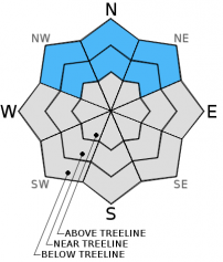
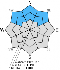
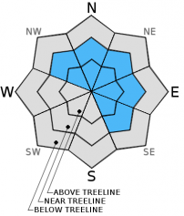
| Mid Slope Winds: | Northeast | North | Variable |
| Wind Speed: | 10 to 15 mph with gusts to 25 mph in the morning | 10 to 15 mph with gusts to 25 mph | Light |
| Expected snowfall: | North of Hwy 50: 0 in. | South of Hwy 50: up to 1 | 0 | 0 |
For 8000 ft. to 9000 ft.
| Friday | Friday Night | Saturday | |
|---|---|---|---|
| Weather: | Cloudy with a slight chance of scattered snow showers in the morning. Becoming partly cloudy in the afternoon. Areas south of Hwy 50 have the best chances for snow showers. | Partly cloudy with a slight chance of snow showers in the evening. Becoming clear overnight. | Sunny |
| Temperatures: | 18 to 25 deg. F. | 7 to 14 deg. F. | 20 to 28 deg. F. |
| Ridge Top Winds: | Northeast | North | Northeast |
| Wind Speed: | 15 to 20 mph with gusts to 30 mph | 15 to 20 mph with gusts to 35 mph | 10 to 15 mph in the morning becoming light in the afternoon |
| Expected snowfall: | North of Hwy 50: 0 in. | South of Hwy 50: up to 1 | 0 | 0 |


