


For 7000 ft. to 8000 ft.
| Friday | Friday Night | Saturday | |
|---|---|---|---|
| Weather: | Partly cloudy skies. | Mostly cloudy skies. | Mostly cloudy skies. |
| Temperatures: | 39 to 44 deg. F. | 24 to 29 deg. F. | 41 to 46 deg. F. |
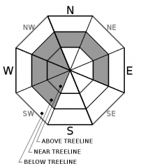
| Mid Slope Winds: | W | W | W |
| Wind Speed: | 10 to 15 mph with gusts to 30 mph. | 10 to 15 mph. | Light winds increasing to 10 to 15 mph with gusts to 30 mph in the afternoon. |
| Expected snowfall: | 0 | 0 | 0 |
For 8000 ft. to 9000 ft.
| Friday | Friday Night | Saturday | |
|---|---|---|---|
| Weather: | Partly cloudy skies. | Mostly cloudy skies. | Mostly cloudy skies. |
| Temperatures: | 35 to 40 deg. F. | 26 to 31 deg. F. | 38 to 43 deg. F. |
| Ridge Top Winds: | W | W | NW |
| Wind Speed: | 10 to 15 mph with gusts to 45 mph. | 15 to 25 mph with gusts to 50 mph. | 20 to 30 mph with gusts to 50 mph. |
| Expected snowfall: | 0 | 0 | 0 |


