


For 7000 ft. to 8000 ft.
| Monday | Monday Night | Tuesday | |
|---|---|---|---|
| Weather: | Snow | Cloudy with snow showers in the evening becoming mostly cloudy with a chance of snow showers after midnight | Partly cloudy with a chance of snow showers in the morning becoming sunny by the afternoon. |
| Temperatures: | 23 to 28 deg. F. | 6 to 11 deg. F. | 24 to 29 deg. F. |
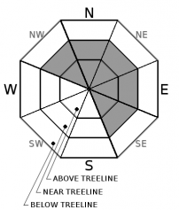
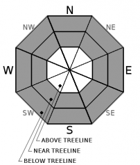
| Mid Slope Winds: | Southwest | Northeast | Northeast |
| Wind Speed: | 20 to 30 mph with gusts to 65 mph decreasing to 10 to 15 mph with gusts to 40 mph in the aftenoon | Light increasing to 10 to 15 mph with gusts to 35 mph after midnight | 10 to 15 mph with gusts to 30 mph |
| Expected snowfall: | 4 to 10 | 2 to 6 | trace |
For 8000 ft. to 9000 ft.
| Monday | Monday Night | Tuesday | |
|---|---|---|---|
| Weather: | Snow | Cloudy with snow showers in the evening becoming mostly cloudy with a chance of snow showers after midnight | Partly cloudy with a chance of snow showers in the morning becoming sunny by the afternoon. |
| Temperatures: | 19 to 25 deg. F. | 3 to 9 deg. F. | 20 to 26 deg. F. |
| Ridge Top Winds: | Southwest shifting to the south in the afternoon | West shifting to the northeast after midnight | Northeast |
| Wind Speed: | 30 to 45 mph with gusts to 95 mph decreasing to 20 to 30 mph with gusts to 70 mph in the afternoon | 10 to 15 mph increasing to 15 to 25 mph with gusts to 35 mph after midnight | 15 to 25 mph with gusts to 60 mph decreasing to 50 mph in the afternoon |
| Expected snowfall: | 5 to 11 | 2 to 6 | trace |


