In partnership with: 
| Date and time of observation or avalanche occurrence | Location | Media | Observation made by |
|---|---|---|---|
|
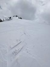
03/31/2023 - 12:00 Avalanche Observation |
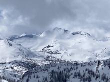
Little Alaska Blackwood Canyon or Ward Canyon Area |
 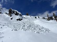   |
Public |
|
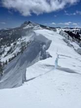
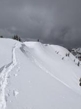
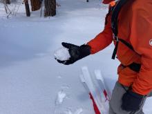
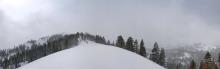
03/31/2023 - 10:00 Snowpack Observation |
Flagpole Peak Echo Summit Area |
      |
Professional Observer |
|
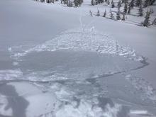
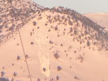
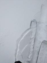
03/30/2023 - 13:30 Avalanche Observation |
Eureka Peak Outside of the Forecast Area |
    |
Public |
|
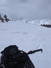
03/30/2023 - 12:30 Avalanche Observation |
Hidden Peak West Shore Area |
   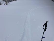    |
Forecaster |
|
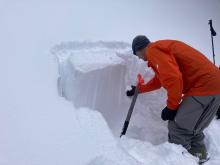
03/30/2023 - 12:00 Snowpack Observation |
Mt. Rose Mount Rose Area |
Public | |
|
03/30/2023 - 12:00 Avalanche Observation |
Peak 9200 aka "Whites Creek Butte" Outside of the Forecast Area |
 |
Public |
|
03/30/2023 - 12:00 Snowpack Observation |
Blue lakes Carson Pass Area |
   |
Public |
|
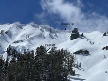
03/30/2023 - 12:00 Avalanche Observation |
Mt. Judah and Trestle Peak Donner Summit Area |
       |
Forecaster |
|
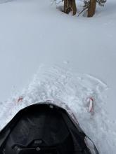
03/30/2023 - 10:10 Avalanche Observation |
Tallac Desolation Wilderness Area (including Emerald Bay) |
    |
Public |
|
03/29/2023 - 13:07 Snowpack Observation |
Near Webber lake Little Truckee Summit Areas |
 |
Public |
|
03/29/2023 - 13:00 Snowpack Observation |
Powderhouse Peak Luther Pass Area (including Job and Freel) |
     |
Professional Observer |
|
03/29/2023 - 13:00 Snowpack Observation |
Silver Peak Cabin Creek, Deep Creek, or Pole Creek Area |
     |
Forecaster |
|
03/29/2023 - 12:00 Avalanche Observation |
Blue Lakes Carson Pass Area |
     |
Professional Observer |
|
03/28/2023 - 16:45 Avalanche Observation |
Echo Peak Echo Summit Area |
Public | |
|
03/28/2023 - 11:30 Avalanche Observation |
Lincoln Ridge Yuba Pass Area |
      |
Forecaster |


This website is owned and maintained by the non-profit arm of the Sierra Avalanche Center. Some of the content is updated by the USDA avalanche forecasters including the forecasts and some observational data. The USDA is not responsible for any advertising, fund-raising events/information, or sponsorship information, or other content not related to the forecasts and the data pertaining to the forecasts.

