In partnership with: 
These observations document past conditions at a small and variable scale. They are not to be confused with an avalanche forecast. They come from a variety of sources. We can only vouch for the quality of those produced by the SAC forecasters and professional observers.
| Date and time of observation or avalanche occurrence | Location | Snowpack, Avalanche, Weather Images | Observation made by |
|---|---|---|---|
|
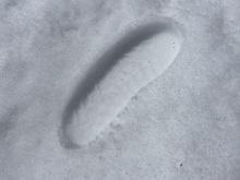
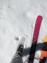
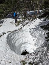
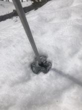
05/10/2023 - 11:11 Snowpack Observation |
Rubicon Peak West Shore Area |
  |
Public |
|
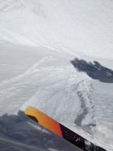
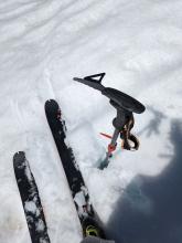
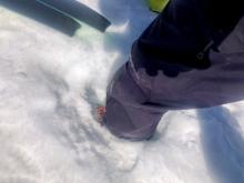
05/07/2023 - 13:00 Avalanche Observation |
Crescent Moon Chute Carson Pass Area |
Public | |
|
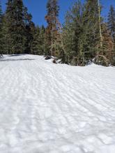
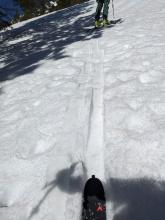
05/07/2023 - 10:28 Avalanche Observation |
Castle Peak North Bowl Donner Summit Area |
 |
Public |
|
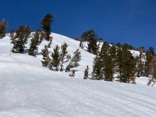
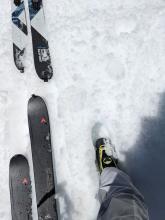
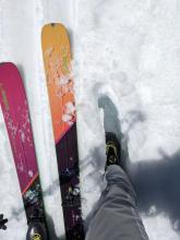
05/07/2023 - 10:20 Avalanche Observation |
Jake's - Eagle/Vikingsholm chute West Shore Area |
 |
Public |
|
05/06/2023 - 10:30 Avalanche Observation |
Hidden Peak West Shore Area |
 |
Public |
|
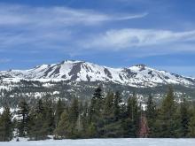
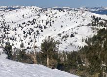
05/06/2023 - 08:30 Snowpack Observation |
Relay Peak Mount Rose Area |
   |
Public |
|
05/05/2023 - 12:20 Avalanche Observation |
Tallac N Bowl Desolation Wilderness Area (including Emerald Bay) |
 |
Public |
|
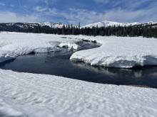
05/03/2023 - 00:00 Snowpack Observation |
Mt Judah |
  |
Public |
|
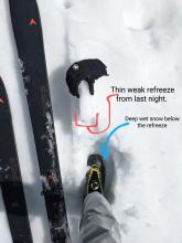
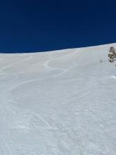
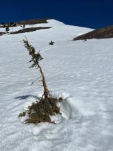
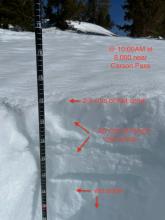
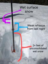
04/29/2023 - 11:49 Snowpack Observation |
Blue Lakes Carson Pass Area |
      |
Professional Observer |
|
04/29/2023 - 11:00 Avalanche Observation |
Jakes Peak West Shore Area |
Public | |
|
04/29/2023 - 11:00 Avalanche Observation |
Johnson Canyon Donner Summit Area |
   |
Forecaster |
|
04/28/2023 - 11:00 Avalanche Observation |
Andesite Peak Donner Summit Area |
     |
Forecaster |
|
04/27/2023 - 11:00 Avalanche Observation |
Mt Judah Donner Summit Area |
Guide Tahoe Mountain School |
|
|
04/27/2023 - 11:00 Snowpack Observation |
Relay Peak Mount Rose Area |
  |
Forecaster |
|
04/27/2023 - 10:00 Snowpack Observation |
Red Lake Peak Carson Pass Area |
      |
Professional Observer |
|
04/26/2023 - 11:00 Snowpack Observation |
Castle Peak Donner Summit Area |
    |
Forecaster |
|
04/25/2023 - 11:00 Snowpack Observation |
Jakes Peak West Shore Area |
     |
Forecaster |
|
04/25/2023 - 08:00 Snowpack Observation |
Rose Knob Mount Rose Area |
      |
Public |
|
04/24/2023 - 11:00 Snowpack Observation |
Rose Knob Peak Mount Rose Area |
   |
Forecaster |
|
04/23/2023 - 19:15 Snowpack Observation |
Allison Ridge - Rose Knob Peak Mount Rose Area |
  |
Public |


This website is owned and maintained by the non-profit arm of the Sierra Avalanche Center. Some of the content is updated by the USDA avalanche forecasters including the forecasts and some observational data. The USDA is not responsible for any advertising, fund-raising events/information, or sponsorship information, or other content not related to the forecasts and the data pertaining to the forecasts.