In partnership with: 
These observations document past conditions at a small and variable scale. They are not to be confused with an avalanche forecast. They come from a variety of sources. We can only vouch for the quality of those produced by the SAC forecasters and professional observers.
| Date and time of observation or avalanche occurrence | Location | Snowpack, Avalanche, Weather Images | Observation made by |
|---|---|---|---|
|
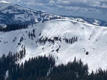
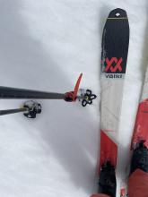
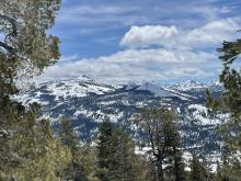
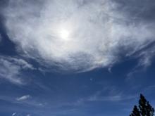
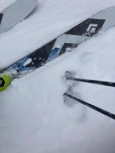
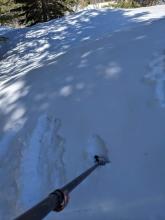
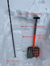
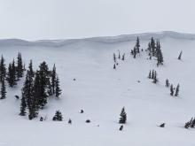
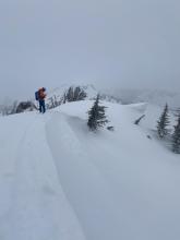
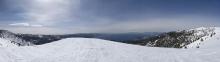
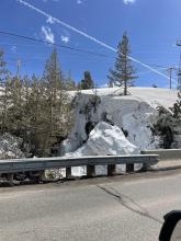
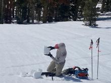
04/23/2023 - 11:00 Snowpack Observation |
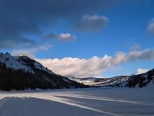
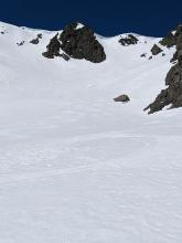
Mt. Judah Donner Summit Area |
    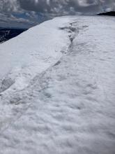 |
Forecaster |
|
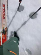
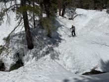
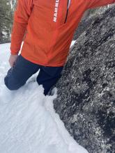
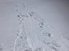
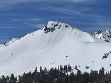
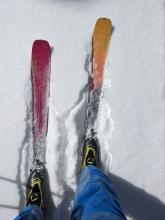
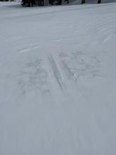
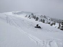
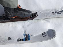
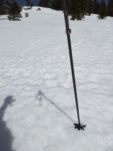
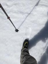
04/23/2023 - 10:56 Snowpack Observation |
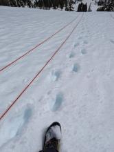
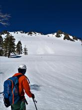
Scout Peak Echo Summit Area |
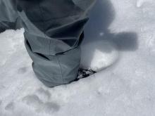     |
Professional Observer |
|
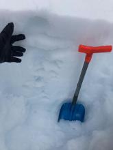
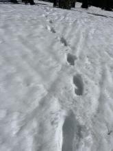
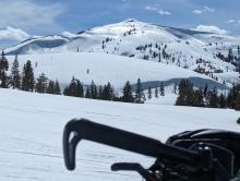
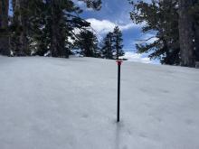
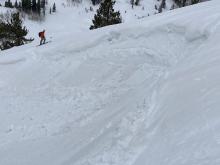
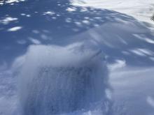
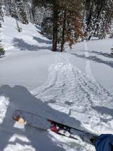
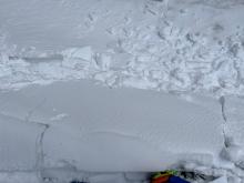
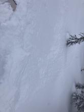
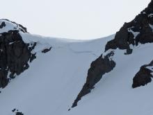
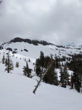
04/23/2023 - 09:00 Snowpack Observation |
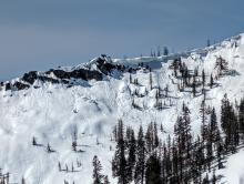
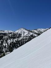
Flagpole Peak Echo Summit Area |
    |
Professional Observer |
|
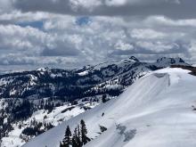
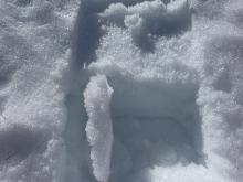
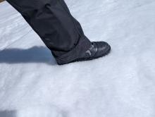
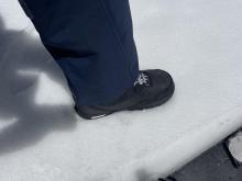
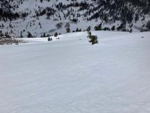
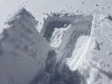
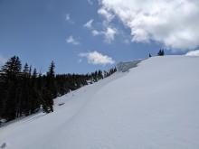
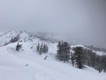
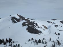
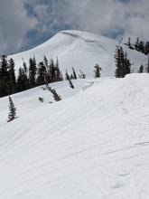
04/22/2023 - 11:15 Snowpack Observation |
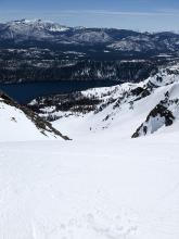
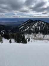
Mt. Tallac Desolation Wilderness Area (including Emerald Bay) |
   |
Forecaster |
|
04/22/2023 - 11:00 Snowpack Observation |
Sand Chutes/Galena Bowls Mount Rose Area |
    |
Public |
|
04/21/2023 - 16:00 Snowpack Observation |
Blue Lakes Carson Pass Area |
    |
Professional Observer |
|
04/21/2023 - 12:44 Snowpack Observation |
Luther Pass Luther Pass Area (including Job and Freel) |
      |
Professional Observer |
|
04/21/2023 - 11:00 Snowpack Observation |
Slide Mountain Mount Rose Area |
     |
Forecaster |
|
04/20/2023 - 12:01 Snowpack Observation |
Elephan'ts Hump Carson Pass Area |
      |
Professional Observer |
|
04/20/2023 - 11:00 Snowpack Observation |
Johnson Canyon Donner Summit Area |
    |
Forecaster |
|
04/20/2023 - 09:00 Snowpack Observation |
Maggies Peak Desolation Wilderness Area (including Emerald Bay) |
Public | |
|
04/19/2023 - 12:00 Snowpack Observation |
Lincoln Ridge Yuba Pass Area |
    |
Forecaster |
|
04/18/2023 - 14:00 Snowpack Observation |
Echo Lake Trees Echo Summit Area |
       |
Professional Observer |
|
04/18/2023 - 14:00 Snowpack Observation |
West of Mt. Lola Independence Lake Area |
  |
Forecaster |
|
04/18/2023 - 11:00 Snowpack Observation |
Incline Peak Mount Rose Area |
   |
Guide Tahoe Mountain School |
|
04/17/2023 - 16:00 Snowpack Observation |
Forestdale Carson Pass Area |
    |
Professional Observer |
|
04/17/2023 - 11:00 Snowpack Observation |
Rose Knob Peak Mount Rose Area |
   |
Forecaster |
|
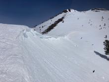
04/16/2023 - 12:45 Avalanche Observation |
Sugar Bowl Drive and Railway Tunnel Donner Summit Area |
 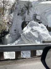    |
Public |
|
04/16/2023 - 11:30 Snowpack Observation |
Castle and Andesite Peaks Donner Summit Area |
     |
Forecaster |
|
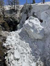
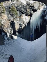
04/16/2023 - 10:00 Avalanche Observation |
Job's Canyon Luther Pass Area (including Job and Freel) |
  |
Public |


This website is owned and maintained by the non-profit arm of the Sierra Avalanche Center. Some of the content is updated by the USDA avalanche forecasters including the forecasts and some observational data. The USDA is not responsible for any advertising, fund-raising events/information, or sponsorship information, or other content not related to the forecasts and the data pertaining to the forecasts.

