In partnership with: 
| Date and time of observation or avalanche occurrence | Location | Media | Observation made by |
|---|---|---|---|
|
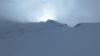
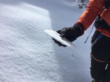
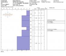
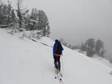
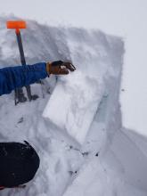
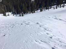
11/28/2018 - 12:00 Snowpack Observation |
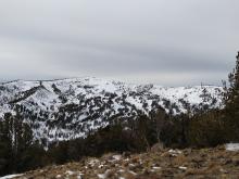
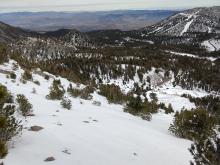
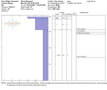
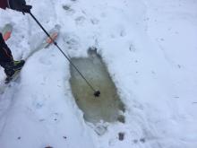
NW Castle Peak Donner Summit Area |
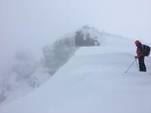 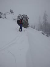 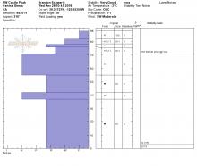 |
Forecaster |
|
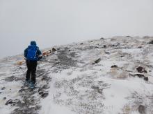
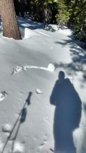
11/27/2018 - 11:00 Snowpack Observation |
Echo/Becker Ridge Echo Summit Area |
    |
Forecaster |
|
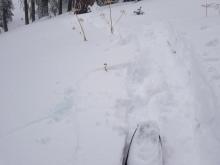
11/26/2018 - 12:00 Snowpack Observation |
Tamarack Peak Mount Rose Area |
     |
Forecaster |
|
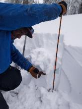
11/24/2018 - 12:00 Snowpack Observation |
Castle Peak Donner Summit Area |
    |
Forecaster |
|
11/24/2018 - 10:00 Snowpack Observation |
Meiss Carson Pass Area |
  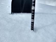  |
Professional Observer |
|
11/23/2018 - 15:00 Snowpack Observation |
Upper Ophir Creek Drainage Mount Rose Area |
    |
Public |
|
11/23/2018 - 12:30 Snowpack Observation |
Far East Ridge of Tamarack Peak Mount Rose Area |
     |
Forecaster |
|
11/23/2018 - 10:30 Snowpack Observation |
Grouse Rock Blackwood Canyon or Ward Canyon Area |
   |
Public |
|
11/22/2018 - 12:00 Snowpack Observation |
Elephant's Back Carson Pass Area |
|
Professional Observer |
|
04/21/2018 - 12:00 Snowpack Observation |
Castle Peak Donner Summit Area |
 |
Guide Tahoe Mountain Scho |
|
04/21/2018 - 09:30 Snowpack Observation |
Andesite Peak Donner Summit Area |
|
Forecaster |
|
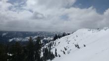
04/20/2018 - 11:30 Snowpack Observation |
Castle Peak Donner Summit Area |
   |
Guide Tahoe Mountain Scho |
|
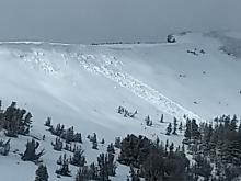
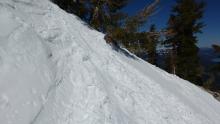
04/20/2018 - 11:30 Avalanche Observation |
Red Lake Peak Carson Pass Area |
Public | |
|
04/20/2018 - 10:30 Snowpack Observation |
Rubicon Peak West Shore Area |
  |
Forecaster |
|
04/19/2018 - 11:00 Snowpack Observation |
Mt. Judah Donner Summit Area |
   |
Forecaster |


This website is owned and maintained by the non-profit arm of the Sierra Avalanche Center. Some of the content is updated by the USDA avalanche forecasters including the forecasts and some observational data. The USDA is not responsible for any advertising, fund-raising events/information, or sponsorship information, or other content not related to the forecasts and the data pertaining to the forecasts.