In partnership with: 
| Date and time of observation or avalanche occurrence | Location | Media | Observation made by |
|---|---|---|---|
|
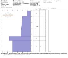
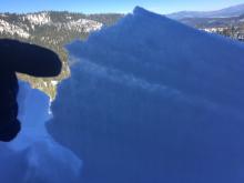
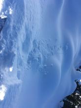
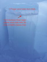
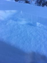
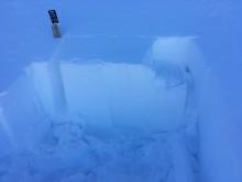
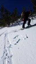
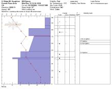
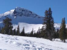
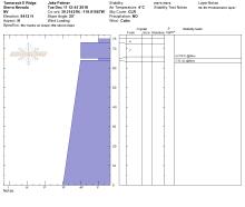
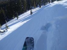
12/14/2018 - 11:45 Snowpack Observation |
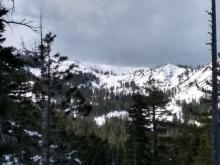
Silver Peak Cabin Creek, Deep Creek, or Pole Creek Area |
 |
Forecaster |
|
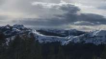
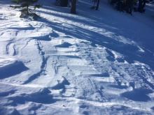
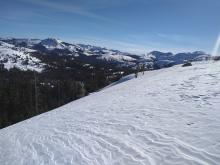
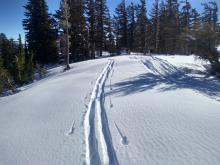
12/14/2018 - 11:00 Snowpack Observation |
Approach to Meiss Carson Pass Area |
  |
Professional Observer |
|
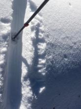
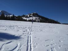
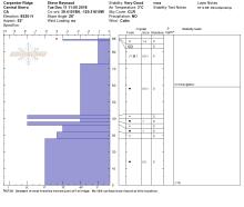
12/14/2018 - 11:00 Snowpack Observation |
Pole creek road Cabin Creek, Deep Creek, or Pole Creek Area |
Public | |
|
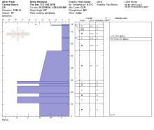
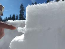
12/14/2018 - 11:00 Snowpack Observation |
Deep Creek Cabin Creek, Deep Creek, or Pole Creek Area |
   |
Forecaster |
|
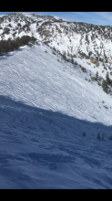
12/14/2018 - 10:30 Snowpack Observation |
Anderson Ridge Donner Summit Area |
 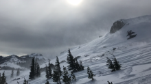  |
Public |
|
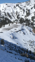
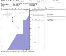
12/13/2018 - 12:00 Snowpack Observation |
Johnson Canyon Donner Summit Area |
   |
Forecaster |
|
12/13/2018 - 12:00 Snowpack Observation |
Silver Peak Cabin Creek, Deep Creek, or Pole Creek Area |
   |
Forecaster |
|
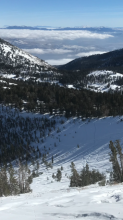
12/13/2018 - 11:30 Snowpack Observation |
Talking Mt. Echo Summit Area |
     |
Professional Observer |
|
12/12/2018 - 12:30 Snowpack Observation |
South Ridge Houghton Mount Rose Area |
  |
Public |
|
12/12/2018 - 12:00 Snowpack Observation |
Elephant's Hump Carson Pass Area |
   |
Forecaster |
|
12/11/2018 - 12:45 Snowpack Observation |
Tamarack Peak Mount Rose Area |
    |
Public |
|
12/11/2018 - 12:00 Snowpack Observation |
Thunder Mountain Carson Pass Area |
   |
Professional Observer |
|
12/11/2018 - 12:00 Snowpack Observation |
Carpenter Ridge Independence Lake Area |
   |
Forecaster |
|
12/10/2018 - 12:00 Snowpack Observation |
Becker Peak Echo Summit Area |
   |
Professional Observer |
|
12/10/2018 - 11:45 Snowpack Observation |
N End of Janine's Ridge Desolation Wilderness Area (including Emerald Bay) |
 |
Public |


This website is owned and maintained by the non-profit arm of the Sierra Avalanche Center. Some of the content is updated by the USDA avalanche forecasters including the forecasts and some observational data. The USDA is not responsible for any advertising, fund-raising events/information, or sponsorship information, or other content not related to the forecasts and the data pertaining to the forecasts.

