In partnership with: 
These observations document past conditions at a small and variable scale. They are not to be confused with an avalanche forecast. They come from a variety of sources. We can only vouch for the quality of those produced by the SAC forecasters and professional observers.
| Date and time of observation or avalanche occurrence | Location | Snowpack, Avalanche, Weather Images | Observation made by |
|---|---|---|---|
|
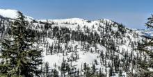
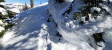
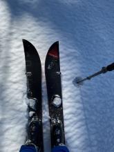
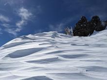
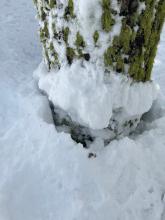
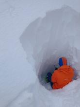
03/04/2023 - 14:00 Snowpack Observation |
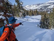
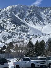
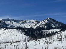
Rubicon West Shore Area |
Public | |
|
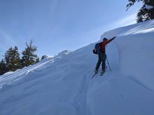
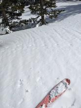
03/04/2023 - 11:00 Snowpack Observation |
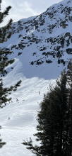
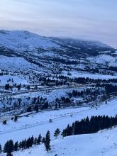
Stevens Peak Luther Pass Area (including Job and Freel) |
|
Public |
|
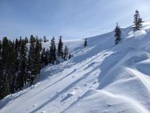
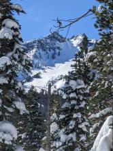
03/04/2023 - 11:00 Snowpack Observation |
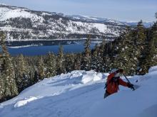
Hidden Peak West Shore Area |
      |
Public |
|
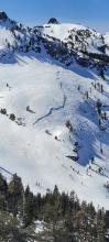
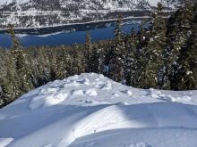
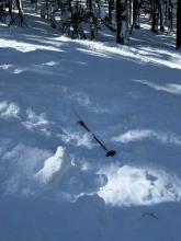
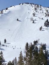
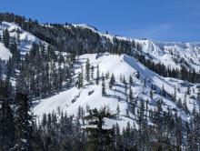
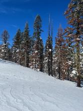
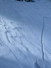
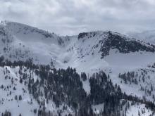
03/04/2023 - 09:00 Avalanche Observation |
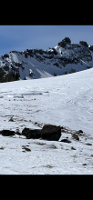
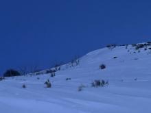
Lake Run Right of Way Donner Summit Area |
   |
Public |
|
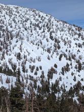
03/03/2023 - 12:30 Avalanche Observation |
NatGeo Cabin Creek, Deep Creek, or Pole Creek Area |
     |
Guide Alpenglow Expeditions |
|
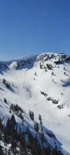
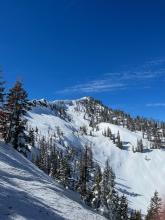
03/03/2023 - 11:00 Avalanche Observation |
Schallenberger Ridge Donner Summit Area |
|
Forecaster |
|
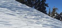
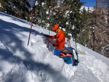
03/03/2023 - 09:30 Snowpack Observation |
Lower Luther Pass Luther Pass Area (including Job and Freel) |
 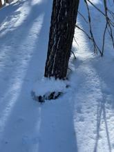     |
Professional Observer |
|
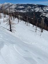
03/02/2023 - 14:00 Avalanche Observation |
Schallenberger Ridge Donner Summit Area |
  |
Public |
|
03/02/2023 - 13:30 Avalanche Observation |
Minden Mile Outside of the Forecast Area |
 |
Public |
|
03/02/2023 - 13:00 Avalanche Observation |
North side of Castle and Frog Lake Cliff Donner Summit Area |
  |
Public |
|
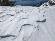
03/02/2023 - 12:45 Snowpack Observation |
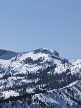
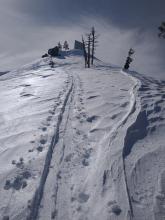
Mt. Judah Donner Summit Area |
     |
Forecaster |
|
03/02/2023 - 12:30 Avalanche Observation |
Incline Lake Peak Mount Rose Area |
        |
Forecaster |
|
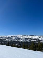
03/02/2023 - 12:00 Avalanche Observation |
Observed from Tallac Desolation Wilderness Area (including Emerald Bay) |
 |
Public |
|
03/02/2023 - 11:30 Avalanche Observation |
Twin Peaks Blackwood Canyon or Ward Canyon Area |
  |
Public |
|
03/02/2023 - 11:00 Snowpack Observation |
Talking Mountain Echo Summit Area |
      |
Professional Observer |
|
03/02/2023 - 01:00 Avalanche Observation |
Echo Peak/Upper Angora Lake Echo Summit Area |
   |
Public |
|
03/01/2023 - 17:00 Snowpack Observation |
Cone Peak Outside of the Forecast Area |
   |
Public |
|
03/01/2023 - 16:30 Snowpack Observation |
Angora ridge Echo Summit Area |
 |
Public |
|
03/01/2023 - 14:17 Snowpack Observation |
near South Camp Pk East Shore Area |
Public | |
|
03/01/2023 - 12:30 Snowpack Observation |
Rubicon Peak West Shore Area |
     |
Forecaster |


This website is owned and maintained by the non-profit arm of the Sierra Avalanche Center. Some of the content is updated by the USDA avalanche forecasters including the forecasts and some observational data. The USDA is not responsible for any advertising, fund-raising events/information, or sponsorship information, or other content not related to the forecasts and the data pertaining to the forecasts.