In partnership with: 
These observations document past conditions at a small and variable scale. They are not to be confused with an avalanche forecast. They come from a variety of sources. We can only vouch for the quality of those produced by the SAC forecasters and professional observers.
| Date and time of observation or avalanche occurrence | Location | Snowpack, Avalanche, Weather Images | Observation made by |
|---|---|---|---|
|
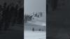
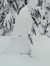
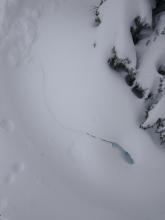
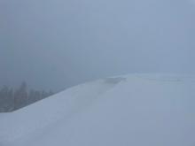
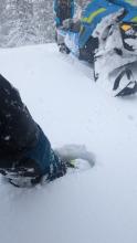
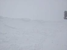
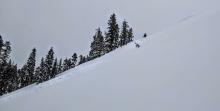
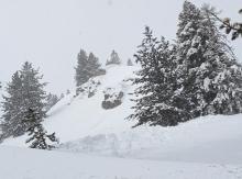
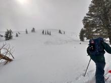
03/14/2023 - 11:30 Avalanche Observation |
Hidden Peak West Shore Area |
   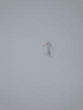  |
Forecaster |
|
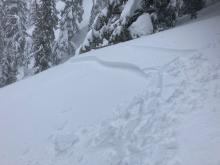
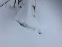
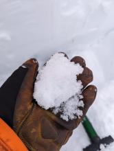
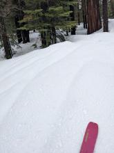
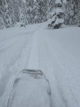
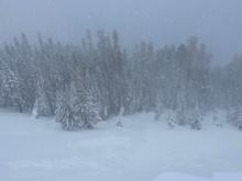
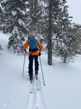
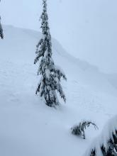
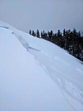
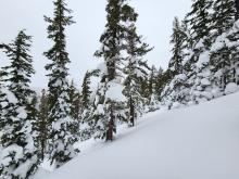
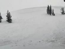
03/13/2023 - 14:30 Avalanche Observation |
Tamarack Mount Rose Area |
Guide Blackbird Mountain Guides |
|
|
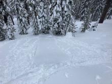
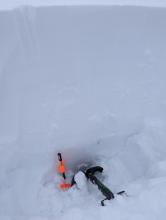
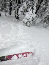
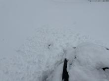
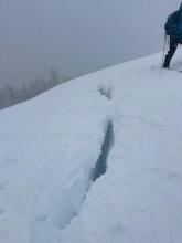
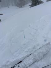
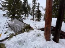
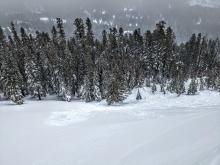
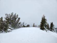
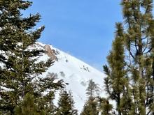
03/13/2023 - 12:15 Avalanche Observation |
Andesite Peak Donner Summit Area |
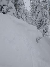     |
Forecaster |
|
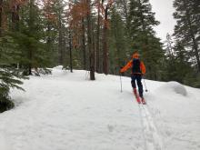
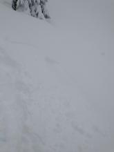
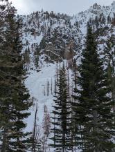
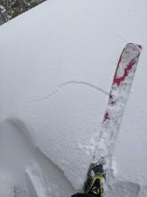
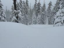
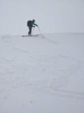
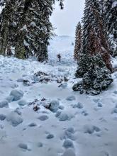
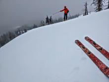
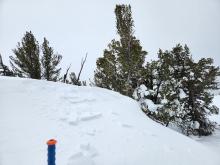
03/13/2023 - 12:00 Avalanche Observation |
Jake's Peak West Shore Area |
 
|
Public |
|
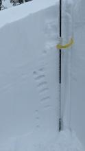
03/13/2023 - 11:00 Snowpack Observation |
Blue Lakes Carson Pass Area |
    |
Professional Observer |
|
03/13/2023 - 10:00 Avalanche Observation |
Coudburst Canyon Woodfords Canyon |
 |
Professional Observer |
|
03/12/2023 - 13:00 Snowpack Observation |
Rubicon Peak West Shore Area |
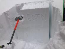      |
Forecaster |
|
03/12/2023 - 13:00 Avalanche Observation |
Incline Peak Mount Rose Area |
    |
Forecaster |
|
03/12/2023 - 12:00 Snowpack Observation |
Blue Lakes Carson Pass Area |
   |
Public |
|
03/12/2023 - 10:47 Snowpack Observation |
Johnson Canyon Donner Summit Area |
     |
Public |
|
03/11/2023 - 14:00 Avalanche Observation |
Andesite Ridge Donner Summit Area |
      |
Educator Alpenglow Expeditions |
|
03/11/2023 - 12:45 Snowpack Observation |
North Lake of the Woods Little Truckee Summit Areas |
 |
Public |
|
03/11/2023 - 11:00 Snowpack Observation |
Tamarack Peak Mount Rose Area |
     |
Public |
|
03/11/2023 - 07:30 Snowpack Observation |
Incline Peak Mount Rose Area |
Public | |
|
03/11/2023 - 01:45 Avalanche Observation |
N/NE side of Incline Peak Mount Rose Area |
   |
Public |
|
03/10/2023 - 21:00 Avalanche Observation |
Fallen Leaf Lake/Cathedral Peak Echo Summit Area |
 |
Public |
|
03/10/2023 - 12:00 Avalanche Observation |
Andesite Ridge |
         |
Forecaster |
|
03/10/2023 - 01:00 Avalanche Observation |
Mount Rose HWY near 8,880' Mount Rose Area |
 |
Public |
|
03/09/2023 - 12:00 Snowpack Observation |
Powderhouse Luther Pass Area (including Job and Freel) |
   |
Public |
|
03/09/2023 - 12:00 Avalanche Observation |
Stevens Peak Luther Pass Area (including Job and Freel) |
   |
Guide Blackbird Mountain Guides |


This website is owned and maintained by the non-profit arm of the Sierra Avalanche Center. Some of the content is updated by the USDA avalanche forecasters including the forecasts and some observational data. The USDA is not responsible for any advertising, fund-raising events/information, or sponsorship information, or other content not related to the forecasts and the data pertaining to the forecasts.