In partnership with: 
| Date and time of observation or avalanche occurrence | Location | Media | Observation made by |
|---|---|---|---|
|
01/26/2019 - 11:00 Snowpack Observation |
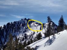
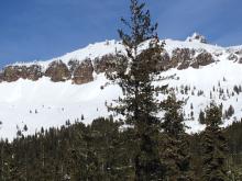
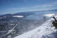
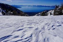
Incline Lake Peak Mount Rose Area |
   |
Forecaster |
|
01/25/2019 - 11:00 Snowpack Observation |
Rubicon Peak West Shore Area |
   |
Forecaster |
|
01/24/2019 - 13:00 Snowpack Observation |
Waterhouse Peak Luther Pass Area (including Job and Freel) |
    |
Public |
|
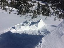
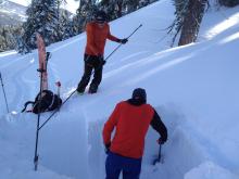
01/23/2019 - 13:30 Avalanche Observation |
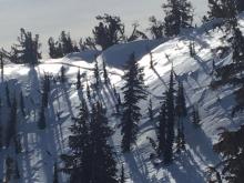
Castle Peak Donner Summit Area |
 |
Guide Tahoe Mountain Scho |
|
01/23/2019 - 13:00 Snowpack Observation |
Ginny Creek and Slab cliffs Mount Rose Area |
   |
Public |
|
01/23/2019 - 12:30 Snowpack Observation |
Back side of Houghton Mount Rose Area |
   |
Public |
|
01/23/2019 - 11:30 Snowpack Observation |
Castle Peak Donner Summit Area |
     |
Forecaster |
|
01/23/2019 - 09:15 Snowpack Observation |
Porcupine Ridge East Shore Area |
     |
Public |
|
01/23/2019 - 02:30 Snowpack Observation |
Tinkers Knob Area Cabin Creek, Deep Creek, or Pole Creek Area |
   |
Public |
|
01/22/2019 - 22:00 Avalanche Observation |
Flagpole Peak Echo Summit Area |
 |
Public |
|
01/22/2019 - 14:15 Snowpack Observation |
Stevens Carson Pass Area |
Public | |
|
01/22/2019 - 11:45 Snowpack Observation |
Angora Peak Echo Summit Area |
   |
Professional Observer |
|
01/22/2019 - 11:15 Snowpack Observation |
Relay Peak Mount Rose Area |
  |
Public |
|
01/22/2019 - 11:00 Snowpack Observation |
Silver Peak Cabin Creek, Deep Creek, or Pole Creek Area |
     |
Forecaster |
|
01/21/2019 - 15:30 Avalanche Observation |
Mt. Rose proper (not the ski area) Mount Rose Area |
 |
Public |


This website is owned and maintained by the non-profit arm of the Sierra Avalanche Center. Some of the content is updated by the USDA avalanche forecasters including the forecasts and some observational data. The USDA is not responsible for any advertising, fund-raising events/information, or sponsorship information, or other content not related to the forecasts and the data pertaining to the forecasts.

