In partnership with: 
| Date and time of observation or avalanche occurrence | Location | Media | Observation made by |
|---|---|---|---|
|
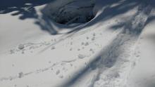
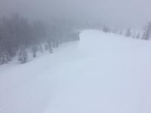
04/10/2017 - 11:00 Avalanche Observation |
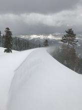
Above winnimucca lake Carson Pass Area |
 |
Public |
|
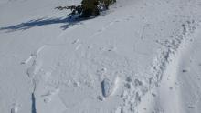
04/10/2017 - 10:45 Avalanche Observation |
Red Lake Peak N NE aspect Carson Pass Area |
Public | |
|
04/10/2017 - 10:01 Avalanche Observation |
W of Winnemucca Lake Carson Pass Area |
     |
Public |
|
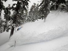
04/09/2017 - 13:30 Avalanche Observation |
South of Tamarack Peak Mount Rose Area |
 |
Public |
|
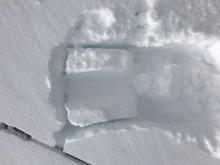
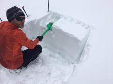
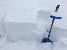
04/09/2017 - 12:00 Snowpack Observation |
Roundtop Carson Pass Area |
  |
Professional Observer |
|
04/09/2017 - 12:00 Avalanche Observation |
Ginny Lake Mount Rose Area |
 |
Public |
|
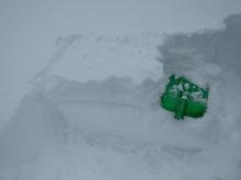
04/09/2017 - 11:30 Snowpack Observation |
Peak 9269' West Shore Area |
   |
Forecaster |
|
04/09/2017 - 08:30 Avalanche Observation |
North Side Independence Lake Area |
 |
Public |
|
04/08/2017 - 16:30 Snowpack Observation |
Poulsen Peak Cabin Creek, Deep Creek, or Pole Creek Area |
  |
Guide Alpenglow Expeditio |
|
04/08/2017 - 12:30 Snowpack Observation |
Jakes Peak West Shore Area |
  |
Forecaster |
|
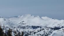
04/08/2017 - 12:00 Avalanche Observation |
Peak 9,310' Desolation Wilderness Area (including Emerald Bay) |
  |
Forecaster |
|
04/08/2017 - 12:00 Snowpack Observation |
Trimmer Peak Luther Pass Area (including Job and Freel) |
   |
Professional Observer |
|
04/08/2017 - 10:15 Snowpack Observation |
Hourglass Mount Rose Area |
Program Manager | |
|
04/07/2017 - 13:00 Snowpack Observation |
Incline Lake Peak Mount Rose Area |
|
Forecaster |
|
04/07/2017 - 12:00 Snowpack Observation |
Andesite Peak Donner Summit Area |
   |
Forecaster |


This website is owned and maintained by the non-profit arm of the Sierra Avalanche Center. Some of the content is updated by the USDA avalanche forecasters including the forecasts and some observational data. The USDA is not responsible for any advertising, fund-raising events/information, or sponsorship information, or other content not related to the forecasts and the data pertaining to the forecasts.