In partnership with: 
| Date and time of observation or avalanche occurrence | Location | Media | Observation made by |
|---|---|---|---|
|
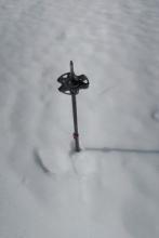
03/19/2017 - 12:30 Snowpack Observation |
Negro Canyon Donner Summit Area |
  |
Guide Tahoe Mountain Scho |
|
03/19/2017 - 11:30 Snowpack Observation |
Stevens Peak Carson Pass Area |
     |
Forecaster |
|
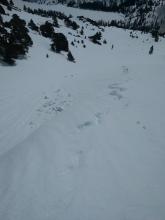
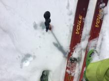
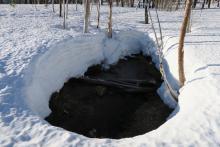
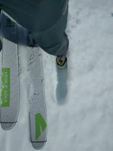
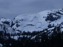
03/19/2017 - 11:01 Avalanche Observation |
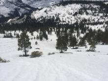
Mt. Tallac (summer) trail Desolation Wilderness Area (including Emerald Bay) |
  |
Public |
|
03/18/2017 - 15:00 Snowpack Observation |
Negro Canyon Donner Summit Area |
 |
Guide Tahoe Mountain Scho |
|
03/18/2017 - 14:00 Snowpack Observation |
Relay Peak Mount Rose Area |
Public | |
|
03/18/2017 - 11:30 Snowpack Observation |
Red Lake Peak Carson Pass Area |
  |
Forecaster |
|
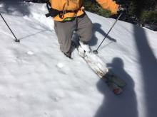
03/17/2017 - 12:00 Snowpack Observation |
Rose Knob Mount Rose Area |
  |
Forecaster |
|
03/17/2017 - 12:00 Snowpack Observation |
Prosser Hill Donner Summit Area |
 |
Forecaster |
|
03/17/2017 - 10:00 Snowpack Observation |
Echo Peak Echo Summit Area |
      |
Professional Observer |
|
03/16/2017 - 12:00 Snowpack Observation |
Mt. Tallac Desolation Wilderness Area (including Emerald Bay) |
   |
Forecaster |
|
03/16/2017 - 12:00 Snowpack Observation |
Twin Crags Sawtooth Ridge to Tahoe City |
   |
Forecaster |
|
03/15/2017 - 12:00 Snowpack Observation |
Black Wall Area - Donner Summit Donner Summit Area |
  |
Forecaster |
|
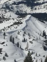
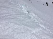
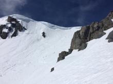
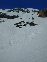
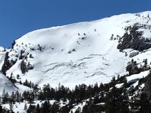
03/15/2017 - 11:47 Avalanche Observation |
Donner Peak Donner Summit Area |
  |
Forecaster |
|
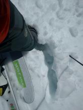
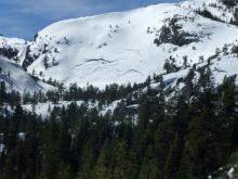
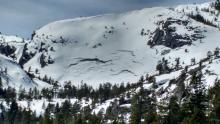
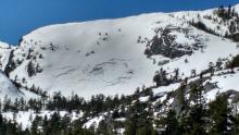
03/14/2017 - 13:00 Avalanche Observation |
West Ridge of Mt. Tallac Desolation Wilderness Area (including Emerald Bay) |
 |
Forecaster |
|
03/14/2017 - 13:00 Snowpack Observation |
Below Eagle Buttress Desolation Wilderness Area (including Emerald Bay) |
     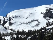  |
Forecaster |


This website is owned and maintained by the non-profit arm of the Sierra Avalanche Center. Some of the content is updated by the USDA avalanche forecasters including the forecasts and some observational data. The USDA is not responsible for any advertising, fund-raising events/information, or sponsorship information, or other content not related to the forecasts and the data pertaining to the forecasts.

